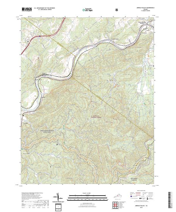
2022 Map of Arnold Valley
USGS Topo · Published 2022About this map
The James River snakes through a landscape defined by industrial vestiges and mountain ridges along the border of Rockbridge and Botetourt Counties. Near Natural Bridge Station, the Black Bridge Airport and the community of Greenlee sit beneath the heights of Mill Mtn and Furnace Mtn, where historical iron furnace operations once dotted the James River valley. Further downstream, the settlement of Gilmore Mills marks a point of river-based commerce, while the Appalachian National Scenic Trail winds through the Jefferson National Forest, crossing ridges like Backbone Ridge and Apple Orchard Mtn. Several family and community burial grounds, including High Bridge Cem and Mount Olivet Cem, provide valuable geographic markers for genealogists tracing the early residents of Alpine and Arcadia. The terrain is deeply bisected by numerous drainages such as Jennings Creek and Sprouts Run, which flow through gaps in the Blue Ridge.
Find a feature on this map
101 named features on this map. Tap any name to fly to it.
Don’t see what you’re looking for? This feature index may not catch every label — zoom into the map to look around manually.
Map Details
Editions of this 2022 Arnold Valley Map
This is the sole edition of this map. No revisions or reprints were ever made.
Other maps of this area

1890 · Roanoke
USGS Topo · 1:125,000

1891 · Roanoke
USGS Topo · 1:125,000

1892 · Lynchburg
USGS Topo · 1:125,000

1894 · Natural Bridge
USGS Topo · 1:125,000

1894 · Lexington
USGS Topo · 1:125,000

1894 · Natural Bridge
USGS Topo · 1:62,500

1907 · Natural Bridge Special
USGS Topo · 1:62,500

1935 · Buena Vista
USGS Topo · 1:48,000

1939 · Buena Vista
USGS Topo · 1:62,500

1940 · Buena Vista
USGS Topo · 1:62,500