
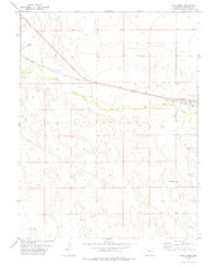
1978 Map of Aroya
USGS Topo · Published 1978About this map
Big Sandy Creek meanders through the northern plains of the High Plains, defining the landscape of this 1970s survey. The tiny settlement of Aroya sits at the junction of the Union Pacific railroad and the drainage of Aroya Gulch, serving as a remote outpost in a region dominated by large-scale ranching operations. The spatial distribution of infrastructure, from the Landing Strip at Rush Creek Ranch to the J.O.D. Ranch further east, highlights the necessity of private aviation and specialized transport in this sparsely populated cattle country.
Find a feature on this map
17 named features on this map. Tap any name to fly to it.
Don’t see what you’re looking for? This feature index may not catch every label — zoom into the map to look around manually.
Map Details
Editions of this 1978 Aroya Map
This is the sole edition of this map. No revisions or reprints were ever made.
Other maps of this area

1891 · Arroyo
USGS Topo · 1:125,000

1893 · Arroyo
USGS Topo · 1:125,000

1954 · Lamar
USGS Topo · 1:250,000

1958 · Lamar
USGS Topo · 1:250,000

1978 · Galatea NE
USGS Topo · 1:24,000

1978 · Barrel Springs Draw
USGS Topo · 1:24,000

1978 · Rock Basin
USGS Topo · 1:24,000

1978 · Sanders Ranch
USGS Topo · 1:24,000

1978 · Stacy Lakes Draw
USGS Topo · 1:24,000
1978 · Wild Horse
USGS Topo · 1:24,000