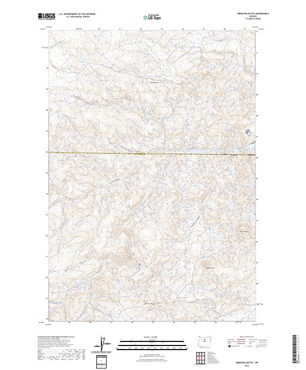
2023 Map of Arrastra Butte
USGS Topo · Published 2023About this map
Arrastra Butte and the surrounding high desert terrain define this intersection of the Wasco and Jefferson County line. The landscape is deeply incised by a series of drainage systems, most notably Arrastra Canyon and Gallagher Canyon, which demonstrate the erosive power of seasonal water in this arid region. These geological features are complemented by prominent landforms such as Black Rock and the elevated Robinson Ridge, providing a clear picture of the area's physical geography. Transport through this territory is limited to a handful of paths, including Big Muddy Rd and NE Gosner Rd, tracing the high ground between canyons. Water sources like Wyman Spring and the ephemeral flows of Currant Creek would have been vital points for early livestock operations and travellers navigating the volcanic ridges of Central Oregon.
Find a feature on this map
21 named features on this map. Tap any name to fly to it.
Don’t see what you’re looking for? This feature index may not catch every label — zoom into the map to look around manually.
Map Details
Editions of this 2023 Arrastra Butte Map
This is the sole edition of this map. No revisions or reprints were ever made.
Other maps of this area

1926 · Mitchell
USGS Topo · 1:125,000

1955 · Bend
USGS Topo · 1:250,000

1957 · Bend
USGS Topo · 1:250,000

1958 · Bend
USGS Topo · 1:250,000

1966 · Antelope
USGS Topo · 1:62,500

1966 · Clarno
USGS Topo · 1:62,500

1968 · Horse Heaven Creek
USGS Topo · 1:24,000

1968 · Axehandle Butte
USGS Topo · 1:24,000
1968 · Sandrock Mtn
USGS Topo · 1:24,000

1981 · Stephenson Mountain
USGS Topo · 1:100,000