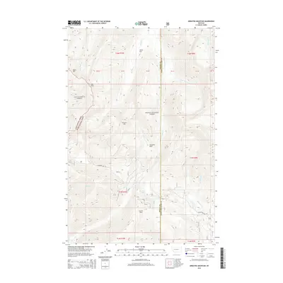
2014 Map of Arrastra Mountain
USGS Topo · Published 2014About this map
Arrastra Mtn stands as a central topographic anchor within this high-elevation landscape on the border of Powell and Lewis and Clark Counties. The terrain is defined by the intersection of the Lolo National Forest and the Helena National Forest, creating a mosaic of protected wilderness drainage systems. Notable water features such as Reservoir Lake and the headwaters of Beaver Creek and Arrastra Creek dictate the local geography, while Lincoln Gulch provides a low-lying contrast to the surrounding peaks. Access to this remote mountain interior is marked by the winding routes of Huckleberry Pass Rd and N Beaver Creek Rd. The presence of features like Alpine Park and Porcupine Basin suggests a land primarily utilized for its natural resources and watershed value in the early 21st century.
Find a feature on this map
33 named features on this map. Tap any name to fly to it.
Don’t see what you’re looking for? This feature index may not catch every label — zoom into the map to look around manually.
Map Details
Editions of this 2014 Arrastra Mountain Map
This is the sole edition of this map. No revisions or reprints were ever made.
Other maps of this area

1889 · Helena
USGS Topo · 1:250,000

1893 · Helena
USGS Topo · 1:250,000

1899 · Helena
USGS Topo · 1:250,000

1903 · Coopers Lake
USGS Topo · 1:125,000

1903 · Helena
USGS Topo · 1:250,000

1947 · Butte
USGS Topo · 1:250,000

1955 · Choteau
USGS Topo · 1:250,000

1957 · Choteau
USGS Topo · 1:250,000

1958 · Butte
USGS Topo · 1:250,000

1958 · Choteau
USGS Topo · 1:250,000