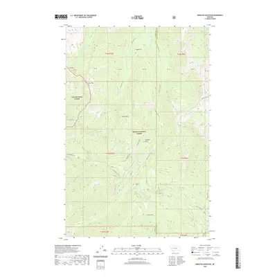
2020 Map of Arrastra Mountain
USGS Topo · Published 2020About this map
Helena National Forest and Lolo National Forest converge in this high-altitude landscape dominated by the peaks of the Continental Divide region. The terrain is defined by dramatic elevation changes between Iron Mtn and Daly Peak, with the eastern slopes giving way to drainage systems like Arrastra Cr and Yukon Cr. A network of historic routes, including the Arrastra Creek Trail and Meadow Cr Dry Creek Trail, provides a glimpse into the accessibility of this backcountry before modern infrastructure predominated.
Find a feature on this map
47 named features on this map. Tap any name to fly to it.
Don’t see what you’re looking for? This feature index may not catch every label — zoom into the map to look around manually.
Map Details
Editions of this 2020 Arrastra Mountain Map
This is the sole edition of this map. No revisions or reprints were ever made.
Other maps of this area

1889 · Helena
USGS Topo · 1:250,000

1893 · Helena
USGS Topo · 1:250,000

1899 · Helena
USGS Topo · 1:250,000

1903 · Coopers Lake
USGS Topo · 1:125,000

1903 · Helena
USGS Topo · 1:250,000

1947 · Butte
USGS Topo · 1:250,000

1955 · Choteau
USGS Topo · 1:250,000

1957 · Choteau
USGS Topo · 1:250,000

1958 · Butte
USGS Topo · 1:250,000

1958 · Choteau
USGS Topo · 1:250,000