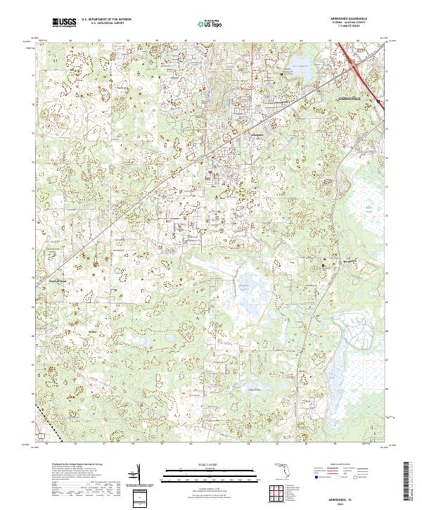
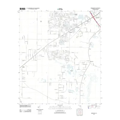
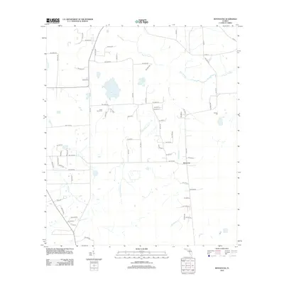
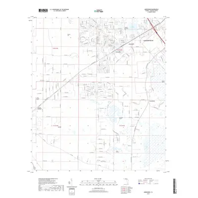
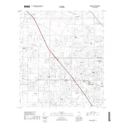
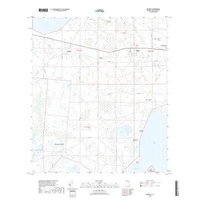
2024 Map of Arredondo
USGS Topo · Published 2024About this map
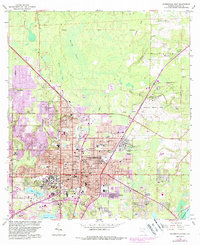
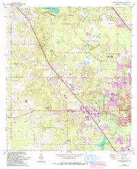
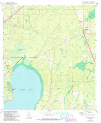
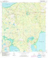
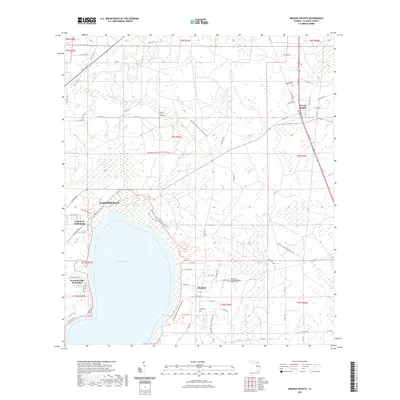
Arredondo and the western outskirts of Gainesville highlight this detailed survey of Alachua County's karst and prairie landscape. The area is defined by its unique hydrography, where seasonal wetlands and prairies like Paynes Prairie, Kanapaha Prairie, and Grass Prairie dominate the low-lying terrain. Historically significant sites such as the Kanapaha Presbyterian Church and Hopewell Cemetery near Wacahoota provide grounding for local family history and genealogical research.
Find a feature on this map
118 named features on this map. Tap any name to fly to it.
Don’t see what you’re looking for? This feature index may not catch every label — zoom into the map to look around manually.
Map Details
Editions of this 2024 Arredondo Map
This is the sole edition of this map. No revisions or reprints were ever made.
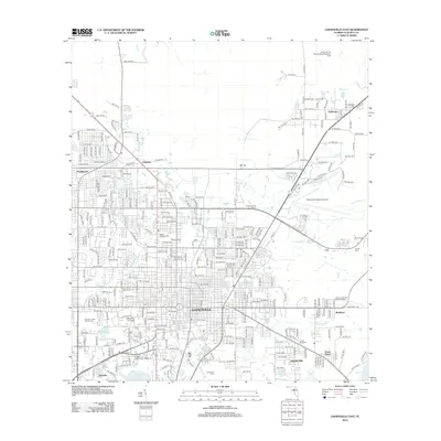
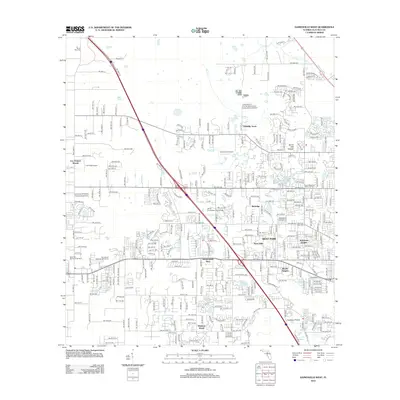
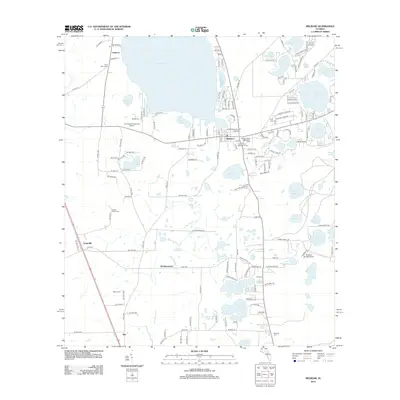
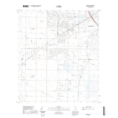
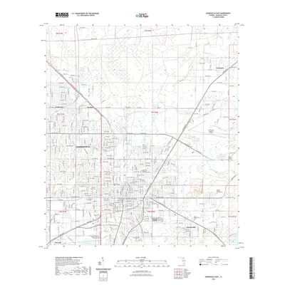
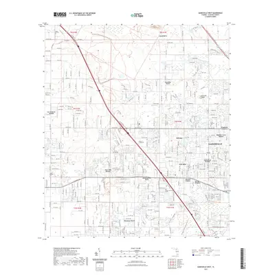
Historical Maps of Gainesville Through Time
49 maps found
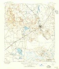
1890 Arredondo
Alachua County, FL

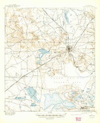
1892 Arredondo
Alachua County, FL
1894 Arredondo
Alachua County, FL

1938 Hawthorn
Alachua County, FL

1943 Hawthorn
Alachua County, FL
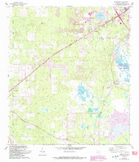
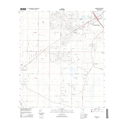
1966 Arredondo
Alachua County, FL
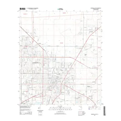
1966 Gainesville East
Alachua County, FL
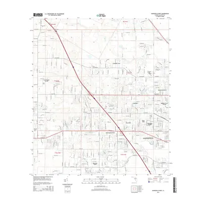
1966 Gainesville West
Alachua County, FL
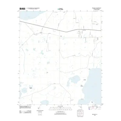
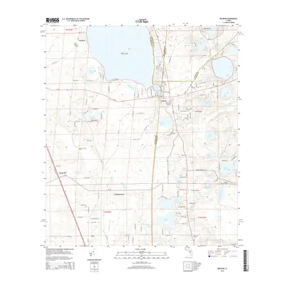
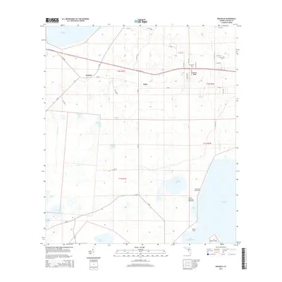
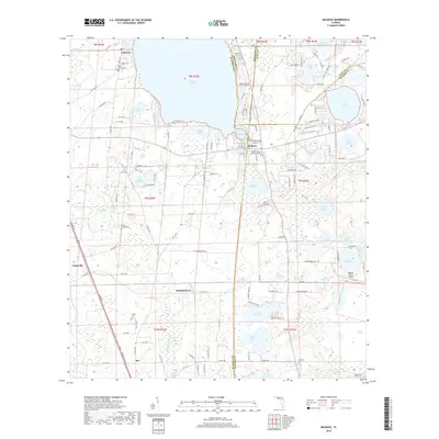
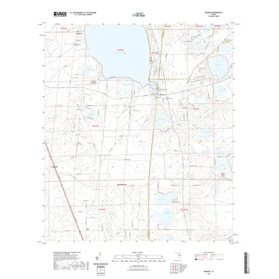
1966 Melrose
Alachua County, FL
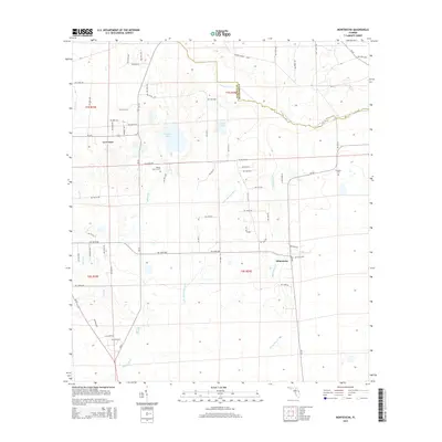
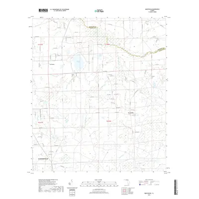
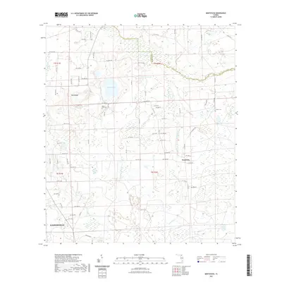
1966 Monteocha
Alachua County, FL
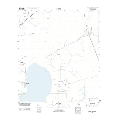
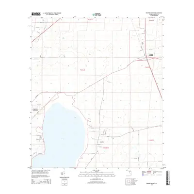
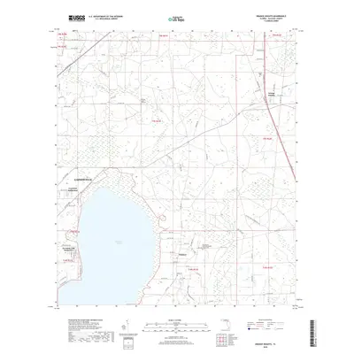
1966 Orange Heights
Alachua County, FL
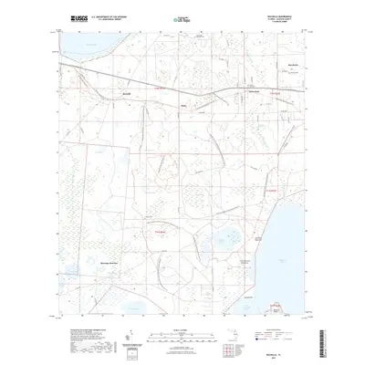
1966 Rochelle
Alachua County, FL
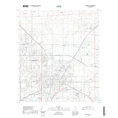
1994 Gainesville East
Alachua County, FL
1994 Gainesville West
Alachua County, FL
2012 Arredondo
Alachua County, FL
2012 Gainesville East
Alachua County, FL
2012 Gainesville West
Alachua County, FL
2012 Melrose
Alachua County, FL
2012 Monteocha
Alachua County, FL
2012 Orange Heights
Alachua County, FL
2012 Rochelle
Alachua County, FL
2015 Arredondo
Alachua County, FL
2015 Gainesville East
Alachua County, FL
2015 Gainesville West
Alachua County, FL
2015 Melrose
Alachua County, FL
2015 Monteocha
Alachua County, FL
2015 Orange Heights
Alachua County, FL
2015 Rochelle
Alachua County, FL
2018 Arredondo
Alachua County, FL
2018 Gainesville East
Alachua County, FL
2018 Gainesville West
Alachua County, FL
2018 Melrose
Alachua County, FL
2018 Monteocha
Alachua County, FL
2018 Orange Heights
Alachua County, FL
2018 Rochelle
Alachua County, FL
2021 Arredondo
Alachua County, FL
2021 Gainesville East
Alachua County, FL
2021 Gainesville West
Alachua County, FL
2021 Melrose
Alachua County, FL
2021 Monteocha
Alachua County, FL
2021 Orange Heights
Alachua County, FL
2021 Rochelle
Alachua County, FL
2024 Arredondo
Alachua County, FL
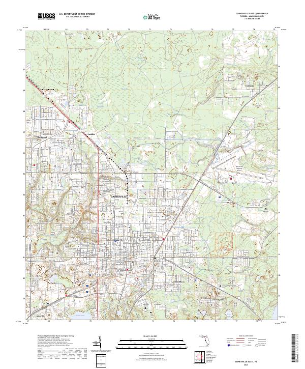
2024 Gainesville East
Alachua County, FL
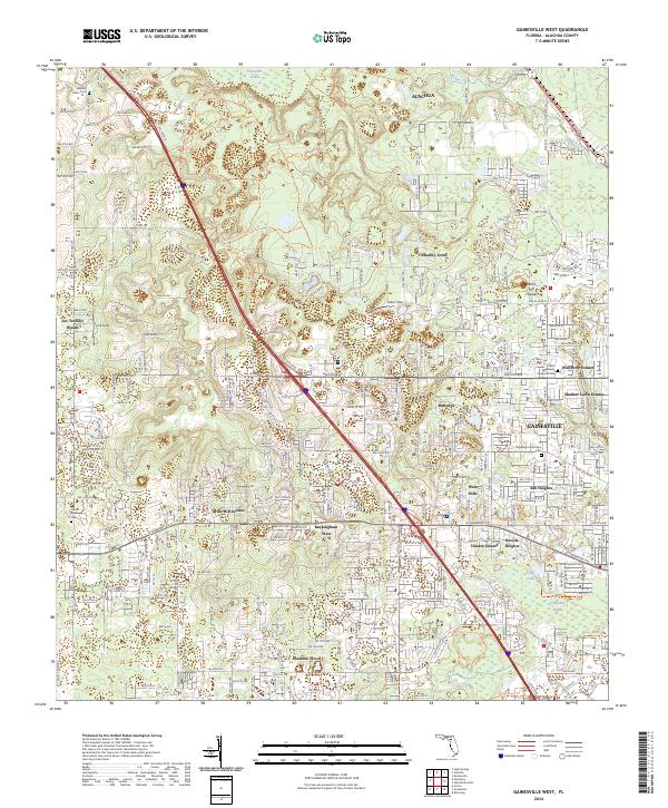
2024 Gainesville West
Alachua County, FL
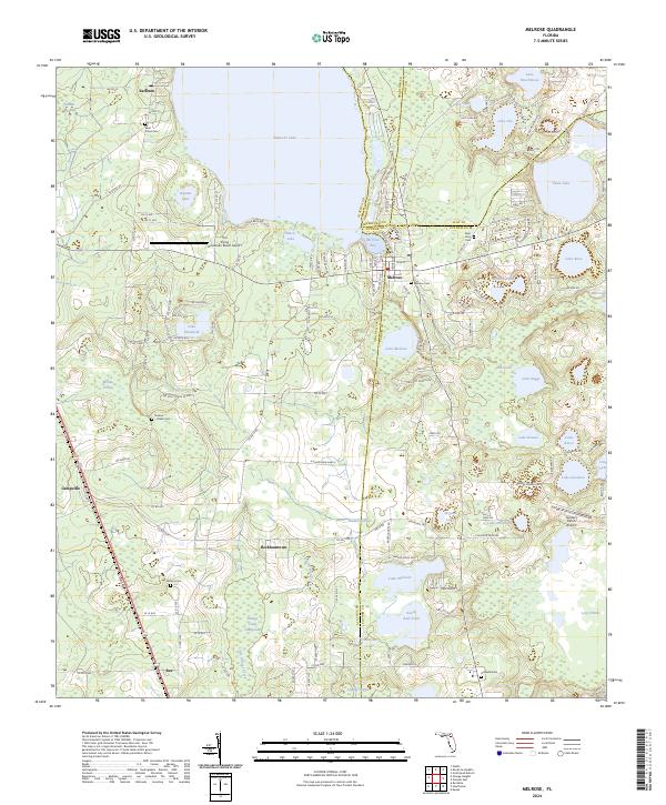
2024 Melrose
Alachua County, FL
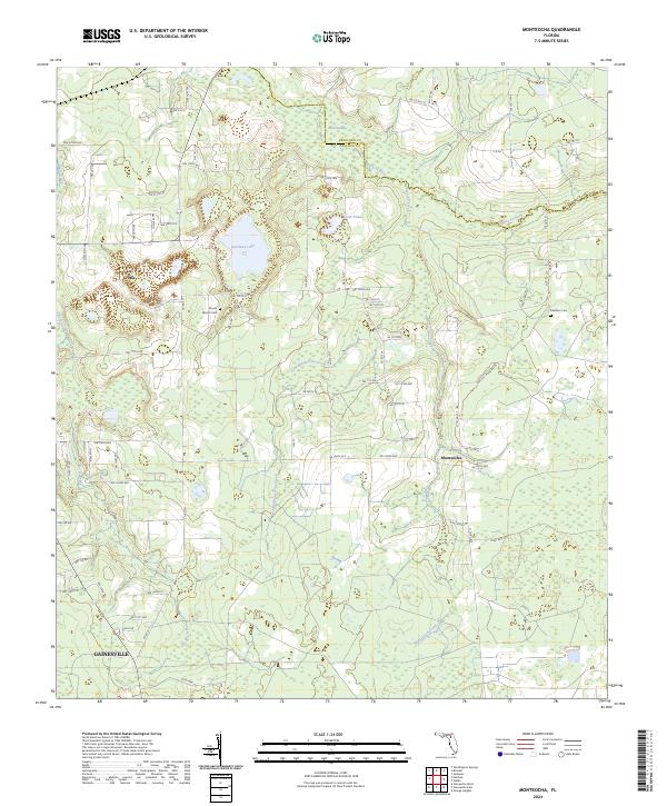
2024 Monteocha
Alachua County, FL
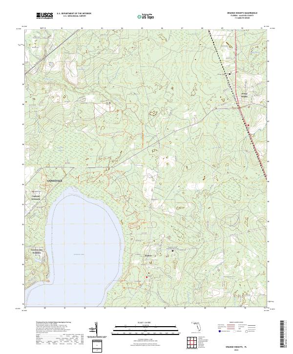
2024 Orange Heights
Alachua County, FL
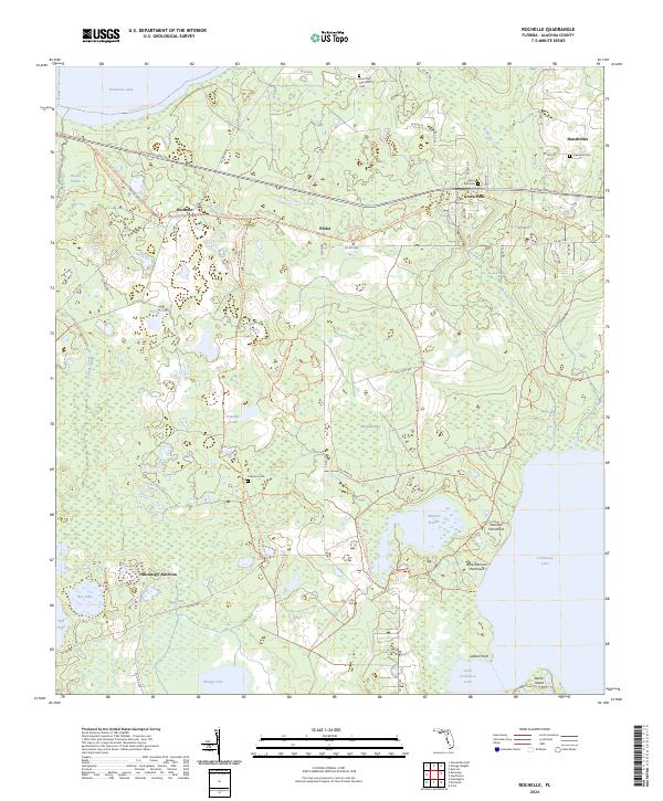
2024 Rochelle
Alachua County, FL