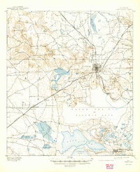
1894 Map of Arredondo
USGS Topo · Published 1910About this map
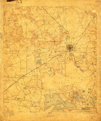
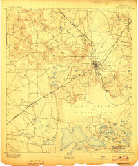
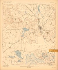
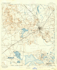
Gainesville serves as the focal point of this 1890s survey, showing a concentrated street grid surrounded by a network of vital railroads like the Florida Central and Peninsula Rail Road. The landscape is dominated by complex hydrologic features, most notably Payne Prairie or Alachua Lake, which historically fluctuated between a wet prairie and a navigable lake during this era.
Find a feature on this map
64 named features on this map. Tap any name to fly to it.
Don’t see what you’re looking for? This feature index may not catch every label — zoom into the map to look around manually.
Map Details
Editions of this 1894 Arredondo Map
6 editions found
Other maps of this area

1890 · Arredondo
USGS Topo · 1:62,500

1892 · Arredondo
USGS Topo · 1:62,500

1893 · Citra
USGS Topo · 1:62,500

1894 · Arredondo
USGS Topo · 1:62,500

1895 · Williston
USGS Topo · 1:62,500

1895 · Citra
USGS Topo · 1:62,500

1938 · Hawthorn
USGS Topo · 1:48,000

1941 · Starke
USGS Topo · 1:62,500

1943 · Hawthorn
USGS Topo · 1:62,500

1948 · Starke
USGS Topo · 1:50,000