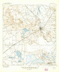
1894 Map of Arredondo
USGS Topo · Published 1944About this map
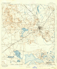
Gainesville serves as the focal point of this North Florida landscape, depicted here during a period of significant expansion as a regional railroad hub. The city is positioned between the rugged sinkhole topography to the northwest and the expansive wetlands to the south. Distinctive geological features like the Devils Mill Hopper and Warren Cave illustrate the unique karst terrain of the region, while the vast Alachua Lake or Payne Prairie dominates the central map, showing the area before it was consistently drained for agriculture. The rail network is well-established, with the Florida Central and Peninsular Railroad and the Florida Southern Railroad converging to move goods and passengers through settlements like Arredondo, Micanopy, and Fairbanks. Smaller communities such as Tacoma and Mayfield appear alongside numerous named ponds and prairies, offering a detailed view of the rural settlement patterns in late 19th-century Alachua County.
Find a feature on this map
69 named features on this map. Tap any name to fly to it.
Don’t see what you’re looking for? This feature index may not catch every label — zoom into the map to look around manually.
Map Details
Editions of this 1894 Arredondo Map
6 editions found
Other maps of this area

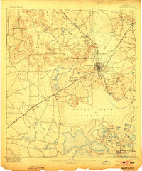
1890 · Arredondo
USGS Topo · 1:62,500

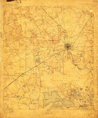
1892 · Arredondo
USGS Topo · 1:62,500

1893 · Citra
USGS Topo · 1:62,500

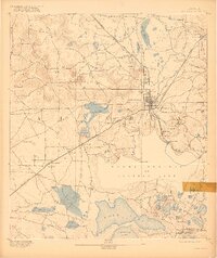
1894 · Arredondo
USGS Topo · 1:62,500

1895 · Williston
USGS Topo · 1:62,500

1895 · Citra
USGS Topo · 1:62,500

1938 · Hawthorn
USGS Topo · 1:48,000

1941 · Starke
USGS Topo · 1:62,500

1943 · Hawthorn
USGS Topo · 1:62,500

1948 · Starke
USGS Topo · 1:50,000