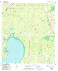
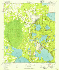
1966 Map of Orange Heights
USGS Topo · Published 1993About this map
Newnans Lake dominates the southwestern portion of this Alachua County landscape, its eastern shoreline dotted with developments like Newnans Lake Homesites and the small community of Windsor. The map reveals a transition from these lakeside residential clusters to the dense wetlands of Gum Root Swamp and the protected timberlands of the Austin Cary Memorial State Forest. The presence of the Arredondo Grant Boundary provides a window into the region's Spanish land grant heritage, slicing through the terrain near Orange Heights.
Find a feature on this map
21 named features on this map. Tap any name to fly to it.
Don’t see what you’re looking for? This feature index may not catch every label — zoom into the map to look around manually.
Map Details
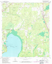
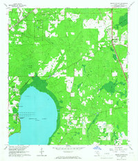
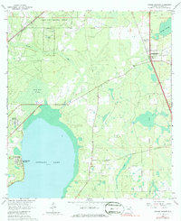
Editions of this 1966 Orange Heights Map
4 editions found
Other maps of this area

1890 · Arredondo
USGS Topo · 1:62,500

1892 · Arredondo
USGS Topo · 1:62,500

1894 · Arredondo
USGS Topo · 1:62,500

1938 · Hawthorn
USGS Topo · 1:48,000

1941 · Starke
USGS Topo · 1:62,500

1943 · Hawthorn
USGS Topo · 1:62,500

1948 · Starke
USGS Topo · 1:50,000

1949 · Waldo
USGS Topo · 1:24,000
1949 · Keystone Heights
USGS Topo · 1:24,000

1949 · Starke
USGS Topo · 1:62,500