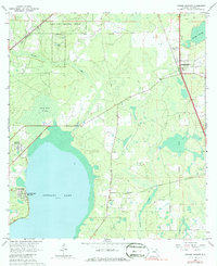
1966 Map of Orange Heights
USGS Topo · Published 1980About this map
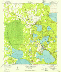
Newnans Lake dominates the southwestern corner of this mid-1960s survey, its shoreline dotted with the Newnans Lake Homesites and the Sunland Center State Park. The landscape is characterized by a mix of wetlands and managed timberlands, including the vast Austin Cary Memorial Forest and the dense Gum Root Swamp. Human settlement is concentrated around the established communities of Windsor and Orange Heights, the latter situated near the Orange Heights Cem and the rail line of the Seaboard. The map preserves the alignment of the Arredondo Grant Boundary, a remnant of colonial-era Spanish land grants that continues to dictate property lines in this part of Florida. Smaller communities like the Copeland Settlement and landmarks such as Providence Ch provide specific points of interest for those tracing local history and family lineages within Alachua County during this period of transition.
Find a feature on this map
21 named features on this map. Tap any name to fly to it.
Don’t see what you’re looking for? This feature index may not catch every label — zoom into the map to look around manually.
Map Details
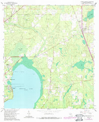
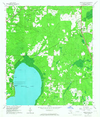
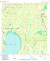
Editions of this 1966 Orange Heights Map
4 editions found
Other maps of this area

1890 · Arredondo
USGS Topo · 1:62,500

1892 · Arredondo
USGS Topo · 1:62,500

1894 · Arredondo
USGS Topo · 1:62,500

1938 · Hawthorn
USGS Topo · 1:48,000

1941 · Starke
USGS Topo · 1:62,500

1943 · Hawthorn
USGS Topo · 1:62,500

1948 · Starke
USGS Topo · 1:50,000

1949 · Waldo
USGS Topo · 1:24,000
1949 · Keystone Heights
USGS Topo · 1:24,000

1949 · Starke
USGS Topo · 1:62,500