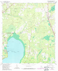
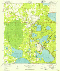
1966 Map of Orange Heights
USGS Topo · Published 1966About this map
Newnans Lake dominates the southwestern quadrant of this Florida interior landscape, its eastern shoreline defining the development patterns of Newnans Lake Homesites and the State Reservation. The terrain is characterized by complex wetland systems like Gum Root Swamp and Saluda Swamp, which influenced early land division and the placement of infrastructure. The presence of the Arredondo Grant Boundary provides a clear look at the legacy of Spanish land grants in Alachua County, cutting across the natural drainage of Hatchet Creek.
Find a feature on this map
18 named features on this map. Tap any name to fly to it.
Don’t see what you’re looking for? This feature index may not catch every label — zoom into the map to look around manually.
Map Details
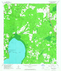
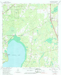
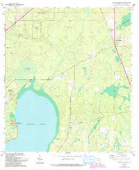
Editions of this 1966 Orange Heights Map
4 editions found
Other maps of this area

1890 · Arredondo
USGS Topo · 1:62,500

1892 · Arredondo
USGS Topo · 1:62,500

1894 · Arredondo
USGS Topo · 1:62,500

1938 · Hawthorn
USGS Topo · 1:48,000

1941 · Starke
USGS Topo · 1:62,500

1943 · Hawthorn
USGS Topo · 1:62,500

1948 · Starke
USGS Topo · 1:50,000

1949 · Waldo
USGS Topo · 1:24,000
1949 · Keystone Heights
USGS Topo · 1:24,000

1949 · Starke
USGS Topo · 1:62,500