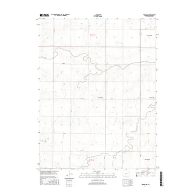
2016 Map of Arriba NE
USGS Topo · Published 2016About this map
The Arikaree River meanders across the High Plains of eastern Lincoln County in this 2016 survey, defining the central drainage pattern of this agricultural landscape. The terrain is characterized by a series of intermittent watercourses, including Dugout Creek, Hell Creek, and Hackberry Creek, which carve gentle draws through the open country. This area is organized by a strict grid of county roads, such as CO Rd 41 and CO Rd 35, reflecting the enduring Public Land Survey System structure that has governed Colorado's eastern plains since the nineteenth century. While few structures are named, the map provides a precise layout of modern rural infrastructure and land divisions, showing how CO Hwy 63 serves as a primary north-south artery through the township boundaries of t7s r53w and t7s r52w.
Find a feature on this map
24 named features on this map. Tap any name to fly to it.
Don’t see what you’re looking for? This feature index may not catch every label — zoom into the map to look around manually.
Map Details
Editions of this 2016 Arriba NE Map
This is the sole edition of this map. No revisions or reprints were ever made.
Other maps of this area

1954 · Limon
USGS Topo · 1:250,000

1957 · Limon
USGS Topo · 1:250,000

1958 · Limon
USGS Topo · 1:250,000

1973 · Lindon SW
USGS Topo · 1:24,000

1973 · Shaw
USGS Topo · 1:24,000

1977 · Thurman
USGS Topo · 1:24,000

1979 · Arriba NW
USGS Topo · 1:24,000

1979 · Arriba
USGS Topo · 1:24,000

1979 · Flagler SW
USGS Topo · 1:24,000

1979 · Genoa East
USGS Topo · 1:24,000