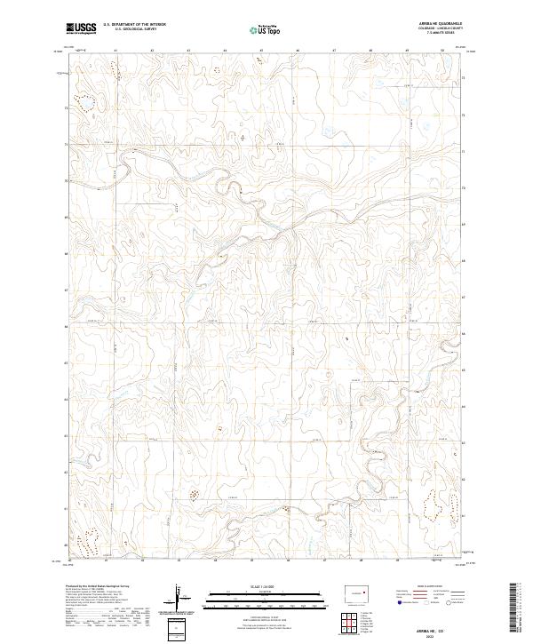
2022 Map of Arriba NE
USGS Topo · Published 2022About this map
The Arikaree River winds through the northern reaches of this rural Lincoln County landscape, defining the hydrology of a region where water is a vital but scarce resource. This 2022 survey captures the high plains of Eastern Colorado, characterized by a grid-like network of rural routes such as Co Hwy 63 and Co Rd 41 that segment the prairie for agricultural use. The terrain is marked by seasonal drainage patterns, most notably the meandering paths of Hell Creek and Dugout Creek, which carve subtle depressions into the landscape. The presence of Hackberry Cr in the south further illustrates the interconnected watershed system that supports the local ranching and farming operations. This map serves as a contemporary record of the land divisions and transportation corridors that continue to shape life in this part of the Colorado plains.
Find a feature on this map
24 named features on this map. Tap any name to fly to it.
Don’t see what you’re looking for? This feature index may not catch every label — zoom into the map to look around manually.
Map Details
Editions of this 2022 Arriba NE Map
This is the sole edition of this map. No revisions or reprints were ever made.
Other maps of this area

1954 · Limon
USGS Topo · 1:250,000

1957 · Limon
USGS Topo · 1:250,000

1958 · Limon
USGS Topo · 1:250,000

1973 · Lindon SW
USGS Topo · 1:24,000

1973 · Shaw
USGS Topo · 1:24,000

1977 · Thurman
USGS Topo · 1:24,000

1979 · Arriba NW
USGS Topo · 1:24,000

1979 · Arriba
USGS Topo · 1:24,000

1979 · Flagler SW
USGS Topo · 1:24,000

1979 · Genoa East
USGS Topo · 1:24,000