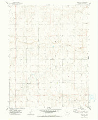
1979 Map of Arriba NW
USGS Topo · Published 1979About this map
The Arikaree River carves a winding path through the high plains of eastern Lincoln County, defining the drainage patterns for this dry, rural landscape. During the late 1970s, the terrain was marked by wide-reaching infrastructure and small-scale industry, including several Gravel Pit operations and a significant Pipeline traversing the southern sections. Local water management is evident through the numerous Well sites scattered across the prairie, essential for sustaining life and livestock far from the primary riverbanks. Tributaries such as Currie Creek, Lickdab Creek, and Dugout Creek branch off through the undulating topography, while a remote Landing Strip suggests the importance of aerial access in this expansive cattle-ranching and farming country.
Find a feature on this map
9 named features on this map. Tap any name to fly to it.
Don’t see what you’re looking for? This feature index may not catch every label — zoom into the map to look around manually.
Map Details
Editions of this 1979 Arriba NW Map
2 editions found
Other maps of this area

1891 · Limon
USGS Topo · 1:125,000

1892 · Limon
USGS Topo · 1:125,000

1954 · Limon
USGS Topo · 1:250,000

1957 · Limon
USGS Topo · 1:250,000

1958 · Limon
USGS Topo · 1:250,000

1973 · Lusto Springs
USGS Topo · 1:24,000

1973 · Lindon SW
USGS Topo · 1:24,000

1973 · Shaw
USGS Topo · 1:24,000

1979 · Arriba NW
USGS Topo · 1:24,000

1979 · Arriba
USGS Topo · 1:24,000