
1920 Map of Arringdale
USGS Topo · Published 1920About this map
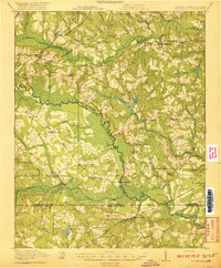
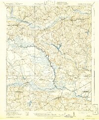
The Meherrin River winds southward across the Virginia-North Carolina border, defining the landscape where Southampton, Greensville, and Northampton counties meet. This survey reveals a region deeply tied to water-powered industry and rail transport, evidenced by numerous mill sites such as Taylors Millpond, Pearsons Millpond, and Jordans Mill. These local landmarks, along with family-named crossings like Haleys Bridge and Branchs Bridge, illustrate how the early 20th-century economy was organized around the intricate network of the Meherrin River and its many tributaries, including Fontaine Creek and Three Creek.
Find a feature on this map
72 named features on this map. Tap any name to fly to it.
Don’t see what you’re looking for? This feature index may not catch every label — zoom into the map to look around manually.
Map Details
Editions of this 1920 Arringdale Map
3 editions found
Other maps of this area

1919 · Jarratt
USGS Topo · 1:62,500

1919 · Mc Kenney
USGS Topo · 1:48,000

1919 · Homeville
USGS Topo · 1:48,000

1919 · Boykins
USGS Topo · 1:48,000

1919 · Emporia
USGS Topo · 1:62,500

1919 · Arringdale
USGS Topo · 1:48,000

1920 · Homeville
USGS Topo · 1:62,500

1920 · Boykins
USGS Topo · 1:62,500

1921 · Mc Kenney
USGS Topo · 1:62,500

1942 · Arringdale
USGS Topo · 1:62,500