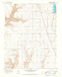
1965 Map of Arriola
USGS Topo · Published 1968About this map
Hovenweep National Monument preserves a prehistoric landscape at the Goodman Point Group (Indian Ruins), a focal point of this Montezuma County survey. The terrain is defined by a series of deep cuts into the Colorado Plateau, including Yellow Jacket Canyon and Goodman Canyon, which drop away from the agricultural flats. In the mid-1960s, the rural life of the region is anchored by the small communities of Arriola, Lewis, and Roundup Junction, alongside infrastructure like the Lone Pine Lateral and the Lone Pine Lateral Siphon. Local genealogy is well-documented through several burial sites, such as Goodman Point Cem and Arriola Cem. The presence of the Narraguinnep Reservoir and Goodman Lake highlights the importance of water management in this high-desert environment, where transport routes like Arriola Road connect isolated farmsteads and ancient ruins.
Find a feature on this map
26 named features on this map. Tap any name to fly to it.
Don’t see what you’re looking for? This feature index may not catch every label — zoom into the map to look around manually.
Map Details
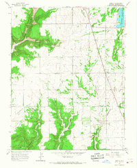
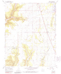
Editions of this 1965 Arriola Map
3 editions found
Other maps of this area

1956 · Cortez
USGS Topo · 1:250,000

1957 · Moqui SE
USGS Topo · 1:24,000

1958 · Cortez SW
USGS Topo · 1:24,000

1958 · Cortez
USGS Topo · 1:250,000

1959 · Cortez
USGS Topo · 1:250,000

1962 · Cortez
USGS Topo · 1:250,000

1965 · Woods Canyon
USGS Topo · 1:24,000

1965 · Cortez
USGS Topo · 1:24,000

1965 · Dolores West
USGS Topo · 1:24,000

1965 · Yellow Jacket
USGS Topo · 1:24,000