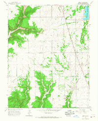
1965 Map of Arriola
USGS Topo · Published 1968About this map
Hovenweep National Monument Goodman Point Group anchors the southern portion of this high-desert landscape in Montezuma County, highlighting the region's ancient significance with numerous Indian Ruins mapped near Goodman Lake. In the mid-1960s, the area's agricultural life is defined by a network of irrigation channels like the Lone Pine Lateral and the massive Narraguinnep Reservoir in the northeast corner. This intersection of pre-Columbian history and modern water management is further marked by small rural nodes such as Arriola and Roundup Junction. The topography is dominated by the deep incisions of Yellow Jacket Canyon and Alkali Canyon, while genealogists can locate specific burial grounds at Goodman Point Cem and Arriola Cem along the dusty routes of Arriola Road.
Find a feature on this map
31 named features on this map. Tap any name to fly to it.
Don’t see what you’re looking for? This feature index may not catch every label — zoom into the map to look around manually.
Map Details
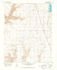
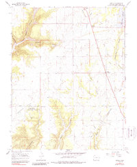
Editions of this 1965 Arriola Map
3 editions found
Other maps of this area

1956 · Cortez
USGS Topo · 1:250,000

1957 · Moqui SE
USGS Topo · 1:24,000

1958 · Cortez SW
USGS Topo · 1:24,000

1958 · Cortez
USGS Topo · 1:250,000

1959 · Cortez
USGS Topo · 1:250,000

1962 · Cortez
USGS Topo · 1:250,000

1965 · Woods Canyon
USGS Topo · 1:24,000

1965 · Cortez
USGS Topo · 1:24,000

1965 · Dolores West
USGS Topo · 1:24,000

1965 · Yellow Jacket
USGS Topo · 1:24,000