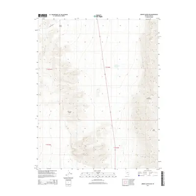
2014 Map of Arrow Canyon NW
USGS Topo · Published 2014About this map
The Las Vegas Range and the Arrow Canyon Range dominate this corner of the Nevada desert, where steep elevation changes are documented through precise contours. A single point of modern water infrastructure, the Perkins Number Two Reservoir, sits in the central basin between these high ridgelines. The landscape is marked by natural drainage features including Elbow Canyon in the northwest and Side Canyon in the southeast. Historical movement through this arid environment is represented by the Mormon Well Rd, which cuts through the northwestern corner. The map provides a look at the Public Land Survey System divisions, showing the junction of Townships 14 and 15 South, which remain largely undeveloped and defined by their natural topography.
Find a feature on this map
10 named features on this map. Tap any name to fly to it.
Don’t see what you’re looking for? This feature index may not catch every label — zoom into the map to look around manually.
Map Details
Editions of this 2014 Arrow Canyon NW Map
This is the sole edition of this map. No revisions or reprints were ever made.
Other maps of this area

1886 · Saint Thomas
USGS Topo · 1:250,000

1893 · Saint Thomas
USGS Topo · 1:250,000

1907 · Las Vegas
USGS Topo · 1:250,000

1908 · Las Vegas
USGS Topo · 1:250,000

1945 · Sheep Range
USGS Topo · 1:125,000

1954 · Las Vegas
USGS Topo · 1:250,000

1957 · Las Vegas
USGS Topo · 1:250,000

1958 · Arrow Canyon
USGS Topo · 1:62,500

1959 · Las Vegas
USGS Topo · 1:250,000

1960 · Hayford Peak
USGS Topo · 1:62,500