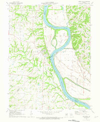
1971 Map of Arrow Rock
USGS Topo · Published 1973About this map
Lisbon sits along the northern reaches of this Missouri River landscape, marking a localized point of settlement within a region defined by complex river dynamics and agricultural patterns. Surveyed in the early 1970s, the map illustrates the intricate relationship between the waterway and the surrounding bottomlands, where numerous levees and sloughs indicate a persistent effort to manage the river's influence on the terrain. The presence of ferry crossings and the distinct separation between high bluffs and low-lying island formations suggest a community shaped by the river-and-road economy of the era. The layout reveals how transportation routes and small-scale developments adapted to the shifting shoreline and the fertile but challenging soils of the river valley.
Find a feature on this map
1 named feature on this map. Tap any name to fly to it.
Don’t see what you’re looking for? This feature index may not catch every label — zoom into the map to look around manually.
Map Details
Editions of this 1971 Arrow Rock Map
2 editions found
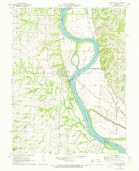
Other maps of this area

1887 · Sedalia
USGS Topo · 1:125,000

1888 · Boonville
USGS Topo · 1:125,000

1890 · Glasgow
USGS Topo · 1:125,000

1890 · Marshall
USGS Topo · 1:125,000

1892 · Marshall
USGS Topo · 1:125,000

1894 · Sedalia
USGS Topo · 1:125,000

1901 · Marshall
USGS Topo · 1:125,000

1940 · Marshall
USGS Topo · 1:62,500

1944 · Marshall
USGS Topo · 1:62,500

1947 · Glasgow
USGS Topo · 1:62,500