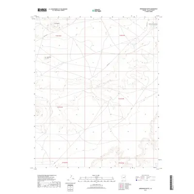
2018 Map of Arrowhead Butte
USGS Topo · Published 2018About this map
Pueblo Colorado Valley occupies the northeast corner of this high-desert landscape in the Navajo Nation, defined by the seasonal drainage of the Pueblo Colorado Wash. The terrain is punctuated by distinctive volcanic or erosional remnants, most notably Arrowhead Butte and Smooth Butte, which serve as primary navigational landmarks in an area dominated by open range and mesas. The map documents a sparse transportation network vital to the region, including Indian Rte 157 and Indian Rte 9811. These routes, along with localized tracks like N-9003, follow the natural contours of the land, connecting the valley to the surrounding plateaus. The survey captures the relationship between the ephemeral watercourses and the established grazing or settlement patterns of the modern era.
Find a feature on this map
13 named features on this map. Tap any name to fly to it.
Don’t see what you’re looking for? This feature index may not catch every label — zoom into the map to look around manually.
Map Details
Editions of this 2018 Arrowhead Butte Map
This is the sole edition of this map. No revisions or reprints were ever made.
Other maps of this area

1883 · Tusayan
USGS Topo · 1:250,000

1886 · Tusayan
USGS Topo · 1:250,000

1886 · Fort Defiance
USGS Topo · 1:250,000

1892 · Fort Defiance
USGS Topo · 1:250,000

1947 · Flagstaff
USGS Topo · 1:250,000

1954 · Flagstaff
USGS Topo · 1:250,000

1954 · Gallup
USGS Topo · 1:250,000

1958 · Gallup
USGS Topo · 1:250,000

1958 · Flagstaff
USGS Topo · 1:250,000

1959 · Gallup
USGS Topo · 1:250,000