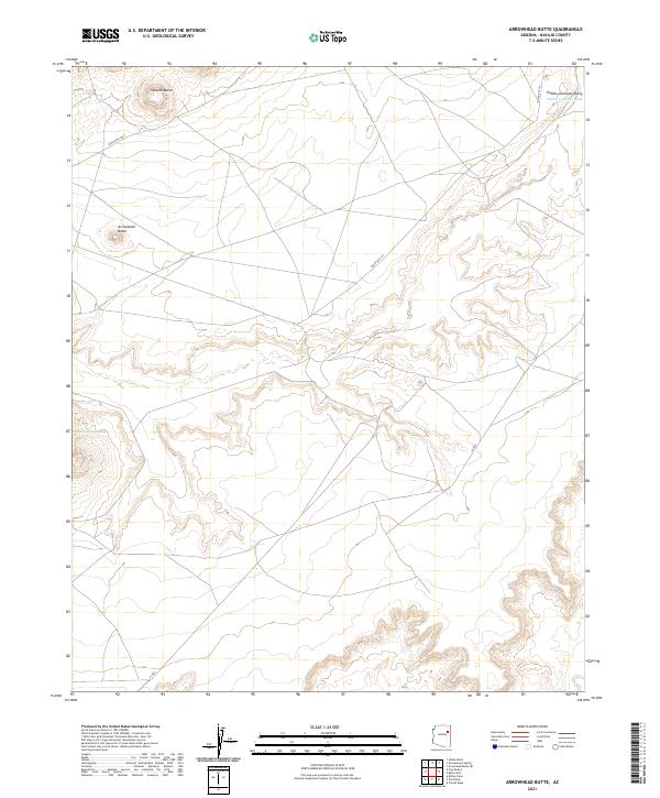
2021 Map of Arrowhead Butte
USGS Topo · Published 2021About this map
Pueblo Colorado Valley serves as a primary geographic focus in this Navajo County landscape, where the seasonal waters of the Pueblo Colorado Wash carve through the arid terrain. The area is defined by its prominent landforms, notably the namesake Arrowhead Butte and the nearby Smooth Butte, which rise above the surrounding plateaus. A network of tribal transportation routes, including Indian Rte 157, Indian Rte 9811, and N-9003, crisscrosses the high desert, suggesting a reliance on these corridors for connecting dispersed settlements and resources across the varied topography.
Find a feature on this map
13 named features on this map. Tap any name to fly to it.
Don’t see what you’re looking for? This feature index may not catch every label — zoom into the map to look around manually.
Map Details
Editions of this 2021 Arrowhead Butte Map
This is the sole edition of this map. No revisions or reprints were ever made.
Other maps of this area

1883 · Tusayan
USGS Topo · 1:250,000

1886 · Tusayan
USGS Topo · 1:250,000

1886 · Fort Defiance
USGS Topo · 1:250,000

1892 · Fort Defiance
USGS Topo · 1:250,000

1947 · Flagstaff
USGS Topo · 1:250,000

1954 · Flagstaff
USGS Topo · 1:250,000

1954 · Gallup
USGS Topo · 1:250,000

1958 · Gallup
USGS Topo · 1:250,000

1958 · Flagstaff
USGS Topo · 1:250,000

1959 · Gallup
USGS Topo · 1:250,000