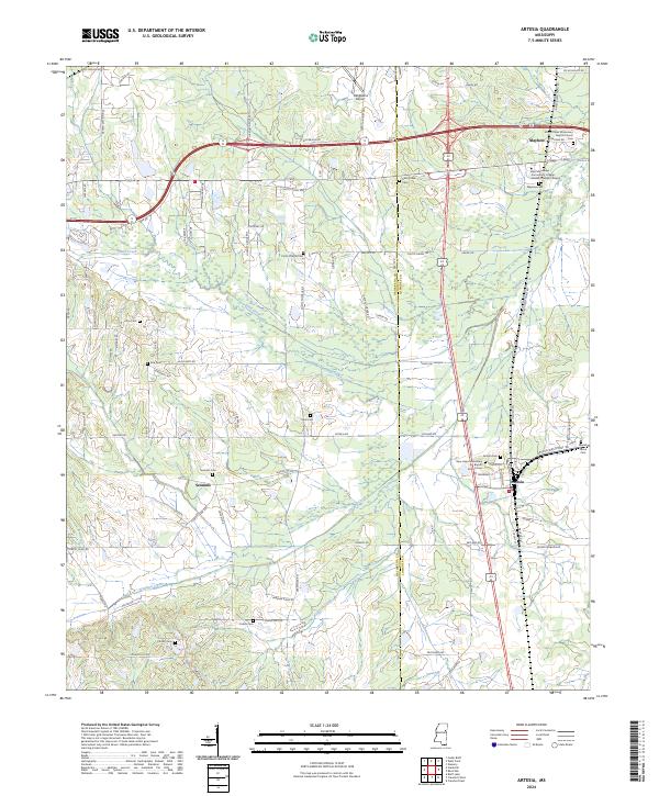
2024 Map of Artesia
USGS Topo · Published 2024About this map
The boundary between Oktibbeha Co and Lowndes Co defines this landscape of rolling prairie and bottomlands. Small rural communities like Sessums and Mayhew serve as central nodes, connected by a network of family-named roads such as Wilkerson Rd and Hickory Grove Rd S. The area is notably dense with localized burial sites and places of worship, including Mount Pelier Missionary Baptist Church and New Hope Missionary Baptist Church Cem, reflecting a long-standing pattern of family and community-centered settlement. The topography is shaped by the winding courses of Sand Creek, Catalpa Creek, and Red Bud Creek, which drain the agricultural land. Modern infrastructure, including the East Mississippi Community College Golden Triangle Campus and the Oktibbeha Airport, occupies the northern reaches, while the town of Artesia remains a key rail and road junction in the east.
Find a feature on this map
84 named features on this map. Tap any name to fly to it.
Don’t see what you’re looking for? This feature index may not catch every label — zoom into the map to look around manually.
Map Details
Editions of this 2024 Artesia Map
This is the sole edition of this map. No revisions or reprints were ever made.
Other maps of this area

1953 · West Point
USGS Topo · 1:250,000

1958 · West Point
USGS Topo · 1:250,000

1959 · Artesia
USGS Topo · 1:62,500

1959 · West Point
USGS Topo · 1:62,500

1959 · Pheba
USGS Topo · 1:62,500

1963 · West Point
USGS Topo · 1:250,000

1965 · Starkville
USGS Topo · 1:24,000

1965 · Bluff Lake
USGS Topo · 1:24,000

1982 · West Point
USGS Topo · 1:100,000

1984 · West Point
USGS Topo · 1:250,000