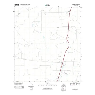
2010 Map of Artesia Wells
USGS Topo · Published 2010About this map
Artesia Wells is situated in a landscape defined by large ranching tracts and intermittent watercourses in South Texas. This 2010 survey highlights the rural character of La Salle County, where modern infrastructure like the Interstate 35 corridor parallels older transport routes. The railroad remains a vital artery, evidenced by Tuna Siding north of the main settlement.
Find a feature on this map
18 named features on this map. Tap any name to fly to it.
Don’t see what you’re looking for? This feature index may not catch every label — zoom into the map to look around manually.
Map Details
Editions of this 2010 Artesia Wells Map
This is the sole edition of this map. No revisions or reprints were ever made.
Other maps of this area

1927 · Bart
USGS Topo · 1:62,500

1929 · Cotulla
USGS Topo · 1:125,000

1940 · Cotulla
USGS Topo · 1:62,500

1940 · Artesia Wells
USGS Topo · 1:62,500

1953 · Crystal City
USGS Topo · 1:250,000

1955 · Crystal City
USGS Topo · 1:250,000

1957 · Encinal
USGS Topo · 1:62,500

1957 · Caiman Creek
USGS Topo · 1:62,500

1961 · Crystal City
USGS Topo · 1:250,000

1968 · Crystal City
USGS Topo · 1:250,000