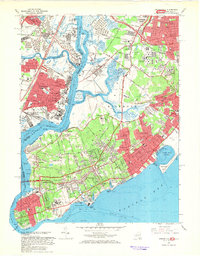
1966 Map of Arthur Kill
USGS Topo · Published 1969About this map
Staten Island's western and southern shorelines are captured in detail here during a period of significant suburban expansion and industrial activity along the Arthur Kill. The landscape is a complex mix of dense residential clusters like Eltingville and Annadale, and large institutional grounds including the Willowbrook State School, Sea View Hospital, and the Farm Colony. The industrial corridors of Linden and Carteret on the New Jersey side contrast with the tidal wetlands of Fresh Kills and the Island of Meadows.
Find a feature on this map
118 named features on this map. Tap any name to fly to it.
Don’t see what you’re looking for? This feature index may not catch every label — zoom into the map to look around manually.
Map Details
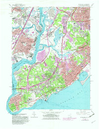
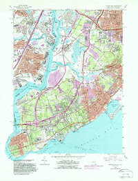
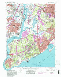
Editions of this 1966 Arthur Kill Map
4 editions found
Other maps of this area

1888 · Plainfield
USGS Topo · 1:62,500

1888 · New Brunswick
USGS Topo · 1:62,500

1888 · Sandy Hook
USGS Topo · 1:62,500

1893 · New Brunswick
USGS Topo · 1:62,500

1893 · Plainfield
USGS Topo · 1:62,500

1893 · Sandy Hook
USGS Topo · 1:62,500

1898 · Plainfield
USGS Topo · 1:62,500

1898 · Staten Island
USGS Topo · 1:62,500

1900 · Passaic
USGS Topo · 1:125,000

1900 · Staten Island
USGS Topo · 1:62,500