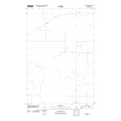
2010 Map of Arthyde
USGS Topo · Published 2010About this map
Arthyde and the surrounding Aitkin County timberlands are defined by a network of waterways and converted rail infrastructure. The Soo Line Trl cuts diagonally through the landscape, repurposing the historic railroad corridor for modern use near the settlement of Arthyde. This transition from industrial rail to recreational transit is mirrored by the preservation of the Aitkin County Forestry lands, which dominate the central portion of the quadrangle.
Find a feature on this map
23 named features on this map. Tap any name to fly to it.
Don’t see what you’re looking for? This feature index may not catch every label — zoom into the map to look around manually.
Map Details
Editions of this 2010 Arthyde Map
This is the sole edition of this map. No revisions or reprints were ever made.
Other maps of this area

1953 · Duluth
USGS Topo · 1:250,000

1958 · Duluth
USGS Topo · 1:250,000

1961 · Sandstone
USGS Topo · 1:62,500

1961 · Moose Lake
USGS Topo · 1:62,500

1968 · Kroschel NW
USGS Topo · 1:24,000

1968 · Giese
USGS Topo · 1:24,000

1969 · Solana
USGS Topo · 1:24,000

1969 · Arthyde
USGS Topo · 1:24,000

1969 · Split Rock Lake
USGS Topo · 1:24,000

1969 · Ronald
USGS Topo · 1:24,000