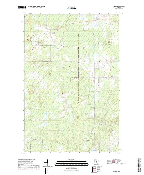
2022 Map of Arthyde
USGS Topo · Published 2022About this map
Arthyde and Ellson anchor this survey of the northeastern Minnesota wetlands and timberlands straddling the Aitkin Co Pine Co line. The landscape is defined by its extensive hydrography, including the Snake River and its various tributaries such as Birch Cr, Bremen Cr, and Chelsea Brook. In the south, Rhine Lake and Rhine Cr mark a shift in the terrain, while the former railroad corridors of the Soo Line South: Aitkin Trl and Soo Line South: Pine Trl cut across the northern sections, tracing the paths of the region's historical timber transport. This modern survey captures the persistence of the original Public Land Survey System township divisions, including t45n r22w, t45n r21w, t44n r22w, and t44n r21w, which continue to dictate the layout of forest roads like Herubin Forest Rd and Giese Forest Rd.
Find a feature on this map
33 named features on this map. Tap any name to fly to it.
Don’t see what you’re looking for? This feature index may not catch every label — zoom into the map to look around manually.
Map Details
Editions of this 2022 Arthyde Map
This is the sole edition of this map. No revisions or reprints were ever made.
Other maps of this area

1953 · Duluth
USGS Topo · 1:250,000

1958 · Duluth
USGS Topo · 1:250,000

1961 · Sandstone
USGS Topo · 1:62,500

1961 · Moose Lake
USGS Topo · 1:62,500

1968 · Kroschel NW
USGS Topo · 1:24,000

1968 · Giese
USGS Topo · 1:24,000

1969 · Solana
USGS Topo · 1:24,000

1969 · Arthyde
USGS Topo · 1:24,000

1969 · Split Rock Lake
USGS Topo · 1:24,000

1969 · Ronald
USGS Topo · 1:24,000