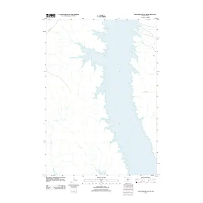
2012 Map of Artichoke Butte NW
USGS Topo · Published 2012About this map
Lake Oahe dominates this part of Dewey County, where the massive reservoir floods the Missouri River valley and creates a sprawling, jagged shoreline of inlets and points. Several drainage systems converge here from the west, including the winding channels of Pascal Cr, Parker Cr, and Bull Cr. These tributaries carve deep into the Missouri Plateau before meeting the main body of the lake. Transport across this sparsely settled landscape is defined by local routes such as Bia Hwy 8 in the northwest corner and rural sections like 167 St and 169th St to the east. The map illustrates a modern era of water management and rural infrastructure, where the vast expanse of the reservoir has reshaped the original prairie drainage patterns of Alberts Cr and its neighbors.
Find a feature on this map
8 named features on this map. Tap any name to fly to it.
Don’t see what you’re looking for? This feature index may not catch every label — zoom into the map to look around manually.
Map Details
Editions of this 2012 Artichoke Butte NW Map
This is the sole edition of this map. No revisions or reprints were ever made.
Other maps of this area

1953 · McIntosh
USGS Topo · 1:250,000

1954 · Pierre
USGS Topo · 1:250,000

1958 · Pierre
USGS Topo · 1:250,000

1958 · McIntosh
USGS Topo · 1:250,000

1965 · Artichoke Butte
USGS Topo · 1:24,000

1965 · Artichoke Butte SW
USGS Topo · 1:24,000

1969 · No Heart Creek SE
USGS Topo · 1:24,000

1969 · Artichoke Butte NW
USGS Topo · 1:24,000

1969 · Patch Skin Buttes SW
USGS Topo · 1:24,000

1969 · Patch Skin Buttes SE
USGS Topo · 1:24,000