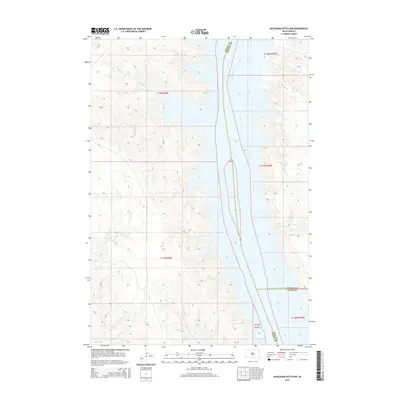
2015 Map of Artichoke Butte NW
USGS Topo · Published 2015About this map
The Missouri River corridor serves as the primary geographic focus for this section of South Dakota, where the expansive waters of Lake Oahe dominate the river valley. This 2015 survey illustrates the complex, indented shoreline created by the reservoir's inundation of former prairie drainages. These smaller western tributaries, including Pascal Cr, Parker Cr, and Bull Cr, carve deep finger-like inlets into the high ground of Dewey County. On the eastern shore, the map traces the intersection of three county jurisdictions where Potter County and Sully County meet along the river's edge. The terrain is characterized by the stark contrast between the wide, flooded river basin and the high, dissected plateaus that surround it, with Alberts Cr further defining the southern breaks of the Dewey County side.
Find a feature on this map
15 named features on this map. Tap any name to fly to it.
Don’t see what you’re looking for? This feature index may not catch every label — zoom into the map to look around manually.
Map Details
Editions of this 2015 Artichoke Butte NW Map
This is the sole edition of this map. No revisions or reprints were ever made.
Other maps of this area

1953 · McIntosh
USGS Topo · 1:250,000

1954 · Pierre
USGS Topo · 1:250,000

1958 · Pierre
USGS Topo · 1:250,000

1958 · McIntosh
USGS Topo · 1:250,000

1965 · Artichoke Butte
USGS Topo · 1:24,000

1965 · Artichoke Butte SW
USGS Topo · 1:24,000

1969 · No Heart Creek SE
USGS Topo · 1:24,000

1969 · Artichoke Butte NW
USGS Topo · 1:24,000

1969 · Patch Skin Buttes SW
USGS Topo · 1:24,000

1969 · Patch Skin Buttes SE
USGS Topo · 1:24,000