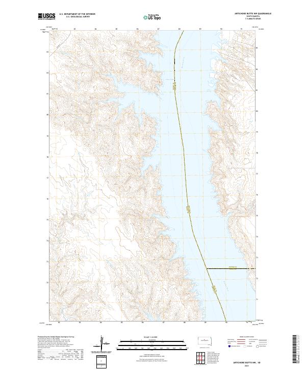
2021 Map of Artichoke Butte NW
USGS Topo · Published 2021About this map
Lake Oahe and the Missouri River dominate this Central South Dakota landscape, forming a massive water corridor that serves as the boundary between Dewey, Potter, and Sully counties. The eastern shoreline is characterized by a deeply etched series of fingers and inlets where the prairie breaks meet the reservoir, while the western side features several prominent drainages. These include Pascal Cr, Parker Cr, and Bull Cr, which flow eastward from the plains. Evidence of modern infrastructure is sparse in this stretch of the river valley, limited primarily to the track of Bia Rd 8 in the northwest corner. The map documents the intricate topography of the Missouri breaks before they descend into the expansive waters of the Oahe, providing a clear view of the Alberts Cr drainage and other family-named landmarks that define the local geography.
Find a feature on this map
17 named features on this map. Tap any name to fly to it.
Don’t see what you’re looking for? This feature index may not catch every label — zoom into the map to look around manually.
Map Details
Editions of this 2021 Artichoke Butte NW Map
This is the sole edition of this map. No revisions or reprints were ever made.
Other maps of this area

1953 · McIntosh
USGS Topo · 1:250,000

1954 · Pierre
USGS Topo · 1:250,000

1958 · Pierre
USGS Topo · 1:250,000

1958 · McIntosh
USGS Topo · 1:250,000

1965 · Artichoke Butte
USGS Topo · 1:24,000

1965 · Artichoke Butte SW
USGS Topo · 1:24,000

1969 · No Heart Creek SE
USGS Topo · 1:24,000

1969 · Artichoke Butte NW
USGS Topo · 1:24,000

1969 · Patch Skin Buttes SW
USGS Topo · 1:24,000

1969 · Patch Skin Buttes SE
USGS Topo · 1:24,000