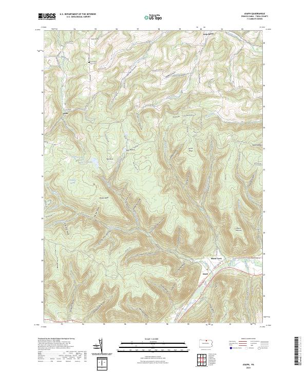
2023 Map of Asaph
USGS Topo · Published 2023About this map
Marsh Creek winds through the southern reaches of this landscape, anchoring a network of narrow valleys and steep ridges defined by the southern Tioga County terrain. The settlement of Asaph sits at the junction where Asaph Run meets the creek, serving as a gateway to the extensive drainage systems of Left Asaph Run and Right Asaph Run. To the north, the small community of Little Marsh and the high-ground hamlet of Azelta mark the transition between agricultural creek bottoms and the deeply carved hollows that dominate the central map.
Find a feature on this map
96 named features on this map. Tap any name to fly to it.
Don’t see what you’re looking for? This feature index may not catch every label — zoom into the map to look around manually.
Map Details
Editions of this 2023 Asaph Map
This is the sole edition of this map. No revisions or reprints were ever made.
Other maps of this area

1899 · Gaines
USGS Topo · 1:62,500

1900 · Gaines
USGS Topo · 1:62,500

1900 · Elkland
USGS Topo · 1:62,500

1946 · Tiadaghton
USGS Topo · 1:24,000

1946 · Antrim
USGS Topo · 1:62,500

1946 · Antrim
USGS Topo · 1:24,000

1947 · Galeton
USGS Topo · 1:62,500

1947 · Marshlands
USGS Topo · 1:24,000

1948 · Antrim
USGS Topo · 1:24,000
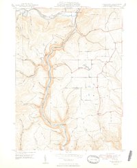
1948 · Tiadaghton
USGS Topo · 1:24,000
Featured Places
- Clymer Township, PA
- Gaines Township, PA
- Chatham Township, PA
- Delmar Township, PA
- Azelta, Clymer Township