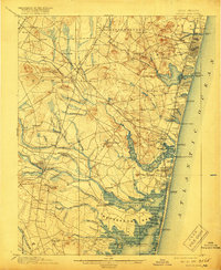
1901 Map of Asbury Park
USGS Topo · Published 1919About this map
The Jersey Shore of the early 1900s is defined by its nascent coastal resorts and the dense rail network that fueled their growth. Principal settlements like Asbury Park, Ocean Grove, and Belmar line the Atlantic coast, separated by natural features such as the Shark River Inlet and Wreck Pond. Inland, the landscape transitions from the developed coastal strip to the wooded and marshy reaches of Howell and Wall townships. This 1901 edition illustrates a critical era of regional transport, where the Central Railroad of New Jersey and the Pennsylvania Railroad provided the vital links between northern urban centers and the seaside. To the south, the map details the complex waterways of the Metedeconk River and Manasquan River, alongside a string of United States Life-Saving Stations, including L.S. Station Bayhead, reflecting the maritime hazards of the era.
Find a feature on this map
106 named features on this map. Tap any name to fly to it.
Don’t see what you’re looking for? This feature index may not catch every label — zoom into the map to look around manually.
Map Details
Editions of this 1901 Asbury Park Map
5 editions found

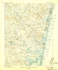
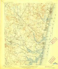
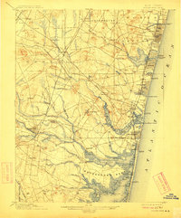
Other maps of this area

1884 · Whitings
USGS Topo · 1:62,500

1888 · Barnegat
USGS Topo · 1:62,500

1888 · New Brunswick
USGS Topo · 1:62,500

1888 · Asbury Park
USGS Topo · 1:62,500

1888 · Cassville
USGS Topo · 1:62,500

1888 · Sandy Hook
USGS Topo · 1:62,500

1888 · Whitings
USGS Topo · 1:62,500

1893 · New Brunswick
USGS Topo · 1:62,500

1893 · Sandy Hook
USGS Topo · 1:62,500

1893 · Asbury Park
USGS Topo · 1:62,500