
1901 Map of Asbury Park
USGS Topo · Published 1901About this map
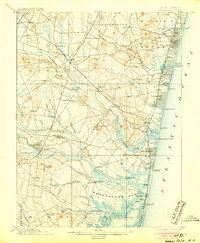
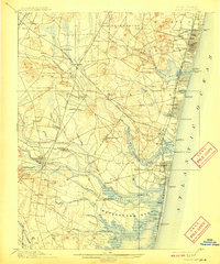
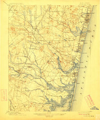
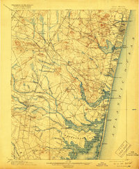
Ocean Grove and the neighboring coastal resorts are well-established by the turn of the century, with the New York and Long Branch Railroad fueling growth along the Atlantic shoreline. While the coast is dotted with Life Saving Stations like L.S. Station Shark River and L.S. Station Deal, the interior remains a complex network of wetlands and small agricultural hamlets. The Manasquan River and its numerous tributaries, including Betty Swamp Brook and Squankum Brook, dictate the placement of early settlements such as Allaire and Lower Squankum.
Find a feature on this map
116 named features on this map. Tap any name to fly to it.
Don’t see what you’re looking for? This feature index may not catch every label — zoom into the map to look around manually.
Map Details
Editions of this 1901 Asbury Park Map
5 editions found
Other maps of this area

1884 · Whitings
USGS Topo · 1:62,500

1888 · Barnegat
USGS Topo · 1:62,500

1888 · New Brunswick
USGS Topo · 1:62,500

1888 · Asbury Park
USGS Topo · 1:62,500

1888 · Cassville
USGS Topo · 1:62,500

1888 · Sandy Hook
USGS Topo · 1:62,500

1888 · Whitings
USGS Topo · 1:62,500

1893 · New Brunswick
USGS Topo · 1:62,500

1893 · Sandy Hook
USGS Topo · 1:62,500

1893 · Asbury Park
USGS Topo · 1:62,500