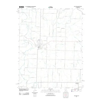
2011 Map of Ash Grove
USGS Topo · Published 2011About this map
Ash Grove serves as the central hub of this Greene County landscape, where the town street grid meets a network of rural farm roads. The geography is defined by the winding course of the Sac River to the west and Clear Creek to the north, which together drain the agricultural highlands. Local history is anchored by the Hamilton Cemetery and the small community of Bois D'Arc in the southeast corner. The terrain reveals a profile of the Ozark Plateau through features like Sand Mountain and a notable concentration of natural water sources, including Leeper Spring, Kelly Spring, and Scott Spring. This survey illustrates the modern layout of rural Greene County, showing how established family farms and contemporary developments like Coyote Pass and N Chiggar Ln integrate with the area's many named branches and creeks.
Find a feature on this map
63 named features on this map. Tap any name to fly to it.
Don’t see what you’re looking for? This feature index may not catch every label — zoom into the map to look around manually.
Map Details
Editions of this 2011 Ash Grove Map
This is the sole edition of this map. No revisions or reprints were ever made.
Other maps of this area

1884 · Springfield
USGS Topo · 1:125,000

1886 · Greenfield
USGS Topo · 1:125,000

1886 · Springfield
USGS Topo · 1:125,000

1888 · Greenfield
USGS Topo · 1:125,000

1919 · Halltown
USGS Topo · 1:62,500

1936 · Brookline
USGS Topo · 1:24,000

1948 · Willard
USGS Topo · 1:24,000

1954 · Springfield
USGS Topo · 1:250,000

1955 · Dadeville
USGS Topo · 1:24,000

1956 · Ash Grove
USGS Topo · 1:24,000