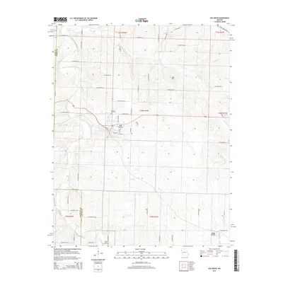
2015 Map of Ash Grove
USGS Topo · Published 2015About this map
Ash Grove serves as the primary hub of this landscape at the western edge of Greene County, where the Ozark plateau meets the drainage of the Sac River. The terrain is defined by a dense network of water sources, including Kelly Spring, Leeper Spring, and Scott Spring, which feed into numerous branches like Hawkins Br and Mathew-Brown Br. This water-rich environment historically supported the local agriculture visible in the farm road grid. A significant modern preservation of the region's rail history is seen in the Frisco Highline Trl, which follows a former railroad alignment through the northeastern corner. For those researching local families, the map identifies several key sites including the Johns Chapel Cemetery and Hamilton Cemetery, as well as Johns Chapel itself near the southern border. To the east, the settlement of Bois D'Arc sits amidst the headwaters of Sawney Br and Sardine Cr, illustrating the small-town distribution across this section of Missouri.
Find a feature on this map
87 named features on this map. Tap any name to fly to it.
Don’t see what you’re looking for? This feature index may not catch every label — zoom into the map to look around manually.
Map Details
Editions of this 2015 Ash Grove Map
This is the sole edition of this map. No revisions or reprints were ever made.
Other maps of this area

1884 · Springfield
USGS Topo · 1:125,000

1886 · Greenfield
USGS Topo · 1:125,000

1886 · Springfield
USGS Topo · 1:125,000

1888 · Greenfield
USGS Topo · 1:125,000

1919 · Halltown
USGS Topo · 1:62,500

1936 · Brookline
USGS Topo · 1:24,000

1948 · Willard
USGS Topo · 1:24,000

1954 · Springfield
USGS Topo · 1:250,000

1955 · Dadeville
USGS Topo · 1:24,000

1956 · Ash Grove
USGS Topo · 1:24,000