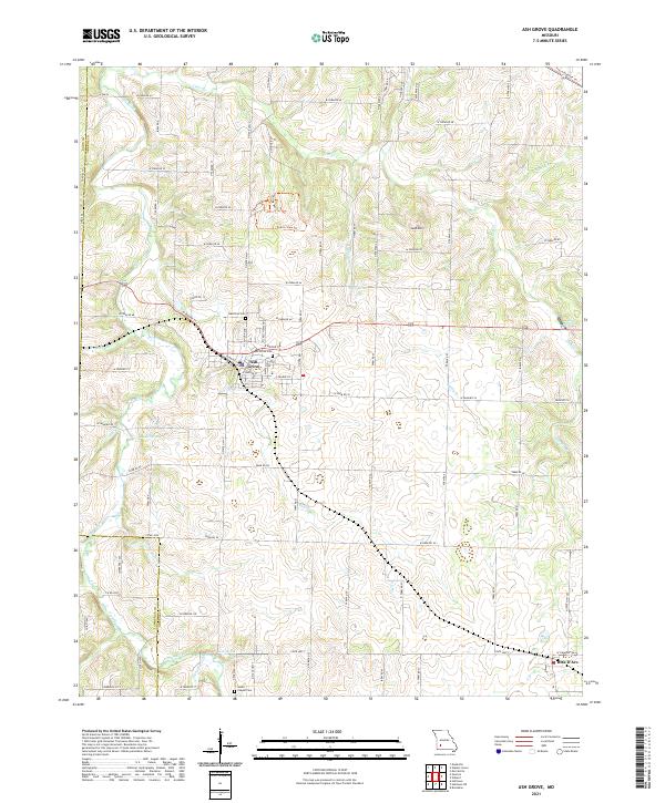
2021 Map of Ash Grove
USGS Topo · Published 2021About this map
Ash Grove sits at the heart of this Greene County landscape, where the town’s grid is anchored by W Boone St and W Main St. The surrounding countryside is defined by the winding course of the Sac River and a dense network of farm roads that follow the section lines of the Ozark Plateau. Local history is etched into the terrain through legacy sites like Ash Grove Cem and Johns Chapel Cem, while the natural hydrography is marked by numerous water sources including Kelly Spring, Leeper Spring, and Scott Spring.
Find a feature on this map
73 named features on this map. Tap any name to fly to it.
Don’t see what you’re looking for? This feature index may not catch every label — zoom into the map to look around manually.
Map Details
Editions of this 2021 Ash Grove Map
This is the sole edition of this map. No revisions or reprints were ever made.
Other maps of this area

1884 · Springfield
USGS Topo · 1:125,000

1886 · Greenfield
USGS Topo · 1:125,000

1886 · Springfield
USGS Topo · 1:125,000

1888 · Greenfield
USGS Topo · 1:125,000

1919 · Halltown
USGS Topo · 1:62,500

1936 · Brookline
USGS Topo · 1:24,000

1948 · Willard
USGS Topo · 1:24,000

1954 · Springfield
USGS Topo · 1:250,000

1955 · Dadeville
USGS Topo · 1:24,000

1956 · Ash Grove
USGS Topo · 1:24,000