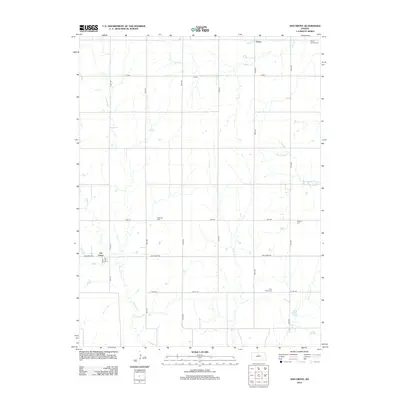
2012 Map of Ash Grove
USGS Topo · Published 2012About this map
Ash Grove and the small settlement of Victor anchor this rural landscape in Mitchell County, defined by a network of sectional roads and meandering creek beds. The map reveals a deeply rooted community structure, evidenced by several dispersed burial grounds including Patterson Cem, Round Springs Cem, and Bethany Cem. These locations, along with Trail Creek Cem to the south, provide essential points of reference for genealogists and local historians tracing the families of the central Kansas plains.
Find a feature on this map
25 named features on this map. Tap any name to fly to it.
Don’t see what you’re looking for? This feature index may not catch every label — zoom into the map to look around manually.
Map Details
Editions of this 2012 Ash Grove Map
This is the sole edition of this map. No revisions or reprints were ever made.
Other maps of this area

1894 · Beloit
USGS Topo · 1:125,000

1955 · Beloit
USGS Topo · 1:250,000

1959 · Beloit
USGS Topo · 1:250,000

1962 · Vesper
USGS Topo · 1:24,000

1962 · Lincoln
USGS Topo · 1:24,000

1963 · Sylvan Grove
USGS Topo · 1:24,000

1967 · Hunter
USGS Topo · 1:24,000

1968 · Beloit SW
USGS Topo · 1:24,000

1968 · Lincoln NW
USGS Topo · 1:24,000
1968 · Ash Grove
USGS Topo · 1:24,000