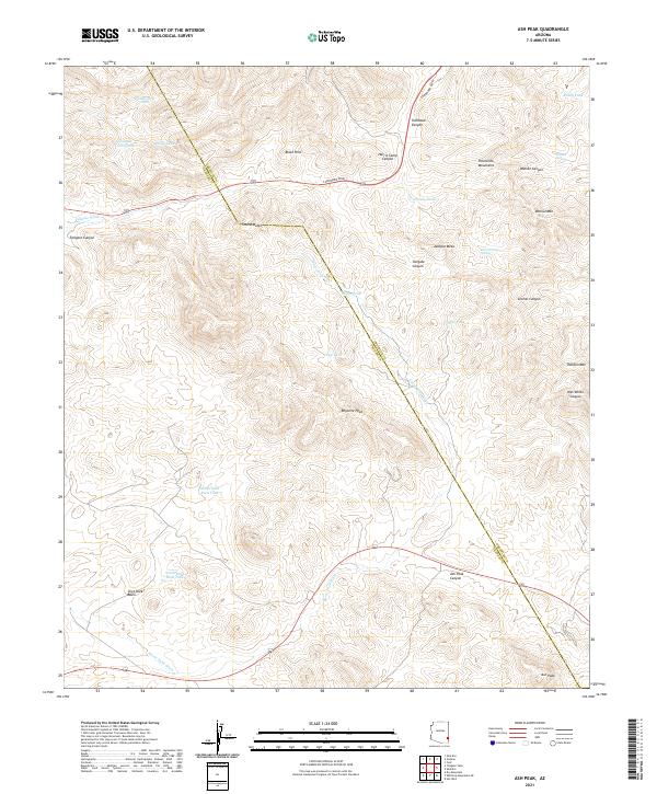
2021 Map of Ash Peak
USGS Topo · Published 2021About this map
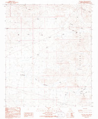
Ash Peak stands as a prominent landmark at the southeastern corner of this arid landscape, which straddles the high-desert border of Graham and Greenlee Counties. The terrain is defined by the sharp elevations of the Peloncillo Mountains and the Black Hills, where numerous canyons such as Tollgate Canyon and Walnut Canyon carve through the earth. Because of the limited natural surface water, the area relies on a network of man-made improvements and seasonal sources, including Yellowstone Tank, Moody Tank, and the reliably named Harris Camp Spring. The presence of features like Thumb Butte and Rhyolite Peak indicates a complex volcanic geology, while the passage of Coronado Blvd and several local routes through gaps like Ash Peak Canyon reveals how human movement is dictated by these natural corridors. This modern topographic record documents the essential water-management infrastructure required for ranching and travel in this corner of the Arizona backcountry.
Find a feature on this map
38 named features on this map. Tap any name to fly to it.
Don’t see what you’re looking for? This feature index may not catch every label — zoom into the map to look around manually.
Map Details
Editions of this 2021 Ash Peak Map
This is the sole edition of this map. No revisions or reprints were ever made.
Other maps of this area

1954 · Silver City
USGS Topo · 1:250,000

1958 · Silver City
USGS Topo · 1:250,000

1959 · York Valley
USGS Topo · 1:62,500

1960 · Guthrie
USGS Topo · 1:62,500

1960 · Duncan
USGS Topo · 1:62,500

1962 · Silver City
USGS Topo · 1:250,000
1966 · Whitlock Mts. NE
USGS Topo · 1:24,000
1966 · Dry Mountain
USGS Topo · 1:24,000
1985 · Gila Box
USGS Topo · 1:24,000
1985 · Tollgate Tank
USGS Topo · 1:24,000