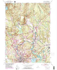
1984 Map of Ashaway
USGS Topo · Published 1985About this map
The Pawcatuck River carves a serpentine path through this borderland, defining the boundary between Rhode Island and Connecticut. The 1980s landscape shows the industrial and transit legacy of Westerly and Pawcatuck, where the Conrail line and the historic New York Providence and Boston Railroad trackage parallel the water. Upriver, the textile and milling history of the region is evident in the cluster of riverside villages including Potter Hill, Ashaway, and White Rock. While Interstate 95 bisects the terrain, significant tracts of woodland remain preserved in the Pawcatuck State Forest and Woody Hill Management Area. Local genealogy is anchored by sites like St Michael Cem and smaller rural settlements such as Clarks Falls and Laurel Glen, situated among the glacial hills of North Stonington and Hopkinton.
Find a feature on this map
56 named features on this map. Tap any name to fly to it.
Don’t see what you’re looking for? This feature index may not catch every label — zoom into the map to look around manually.
Map Details
Editions of this 1984 Ashaway Map
2 editions found
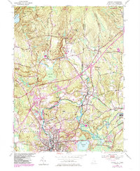
Other maps of this area

1889 · Stonington
USGS Topo · 1:62,500

1889 · Charlestown
USGS Topo · 1:62,500

1889 · Moosup
USGS Topo · 1:62,500

1890 · Kent
USGS Topo · 1:62,500

1893 · Moosup
USGS Topo · 1:62,500

1893 · Stonington
USGS Topo · 1:62,500

1894 · Kent
USGS Topo · 1:62,500

1919 · Charlestown
USGS Topo · 1:62,500

1920 · Moosup
USGS Topo · 1:62,500

1921 · Charlestown
USGS Topo · 1:62,500