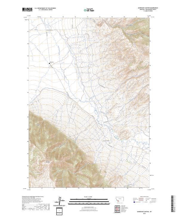
2024 Map of Ashbough Canyon
USGS Topo · Published 2024About this map
Blacktail Deer Creek meanders through the heart of this Montana landscape, where the high slopes of the Ruby Range meet the northern reaches of the Blacktail Mountains. The terrain is deeply inscribed by a series of drainage systems, including Axes Canyon, Van Camp Canyon, and the central Ashbough Canyon, illustrating the complex hydrology of Beaverhead County. Human presence is marked primarily by ranch roads and the Poindexter Cem, which sits near the junction of Blacktail Rd and Buster Brown Rd. The map details a network of local connectors such as Flynn Ln and Cabin Creek Rd, which provide access to family-named landmarks and secluded water sources like Blacktail Spring. This modern record preserves the exact location of high-elevation features like Irishmans Hole and Weston Canyon before the subtle shifts of geography and land use continue to alter the landscape.
Find a feature on this map
25 named features on this map. Tap any name to fly to it.
Don’t see what you’re looking for? This feature index may not catch every label — zoom into the map to look around manually.
Map Details
Editions of this 2024 Ashbough Canyon Map
This is the sole edition of this map. No revisions or reprints were ever made.
Other maps of this area

1893 · Dillon
USGS Topo · 1:250,000

1952 · Gallagher Mountain
USGS Topo · 1:24,000

1955 · Dubois
USGS Topo · 1:250,000

1955 · Dillon
USGS Topo · 1:250,000

1957 · Dillon
USGS Topo · 1:250,000

1958 · Dubois
USGS Topo · 1:250,000

1958 · Dillon
USGS Topo · 1:250,000

1961 · Christensen Ranch
USGS Topo · 1:24,000

1961 · Ashbough Canyon
USGS Topo · 1:24,000

1961 · Elk Gulch
USGS Topo · 1:24,000