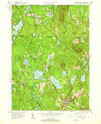
1950 Map of Ashburnham
USGS Topo · Published 1962About this map
The borderlands of Massachusetts and New Hampshire are defined by a complex network of glacial lakes and hills in this 1950 revision of mid-century surveys. Ashburnham serves as the primary hub, where the Boston and Maine RR cuts through the southern terrain near Blackburn Village. The landscape is heavily wooded, dominated by various tracts of State Forest and significant elevations like Mount Watatic and New Ipswich Mountain. Water is the defining feature of the region, ranging from the large Lake Monomonac on the western edge to the paired basins of Upper Naukeag Lake and Lower Naukeag Lake. Smaller settlements and institutional landmarks, including Converseville, Lane Village, and the Hampshire Country Sch, indicate a rural pattern of life centered around the local ponds and the upper reaches of the Millers River. Genealogy researchers can also locate the St Dennis Cem and several numbered schoolhouses like School No 8.
Find a feature on this map
72 named features on this map. Tap any name to fly to it.
Don’t see what you’re looking for? This feature index may not catch every label — zoom into the map to look around manually.
Map Details
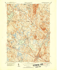
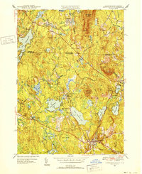
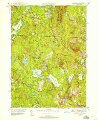
Editions of this 1950 Ashburnham Map
4 editions found
Other maps of this area

1887 · Winchendon
USGS Topo · 1:62,500

1887 · Fitchburg
USGS Topo · 1:62,500

1889 · Fitchburg
USGS Topo · 1:62,500

1890 · Winchendon
USGS Topo · 1:62,500

1893 · Fitchburg
USGS Topo · 1:62,500

1894 · Winchendon
USGS Topo · 1:62,500

1898 · Monadnock
USGS Topo · 1:62,500

1900 · Peterboro
USGS Topo · 1:62,500

1931 · Fitchburg
USGS Topo · 1:48,000

1932 · Winchendon
USGS Topo · 1:48,000