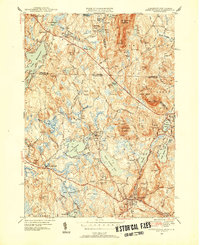
1950 Map of Ashburnham
USGS Topo · Published 1952About this map
The town of Ashburnham serves as the focal point for this survey, situated at the intersection of a complex network of glacial ponds and granite ridges along the Massachusetts-New Hampshire border. Industry and transit are marked by the presence of the Boston and Maine Railroad, which winds past the Old North Ashburnham Sta and serves smaller settlements like Converseville and Blackburn Village. The landscape is dominated by notable heights such as Mount Watatic and Little Watatic Mountain, which frame a series of significant water bodies including Upper Naukeag Lake and Winnekeag Lake. Local institutions are well-represented, from the Hampshire Country Sch and School No 8 to the St Dennis Cem. Extensive tracts of State Forest reflect the mid-century land conservation efforts in this transition zone between the Millers and Souhegan River watersheds.
Find a feature on this map
70 named features on this map. Tap any name to fly to it.
Don’t see what you’re looking for? This feature index may not catch every label — zoom into the map to look around manually.
Map Details
Editions of this 1950 Ashburnham Map
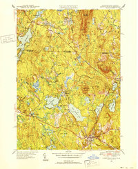
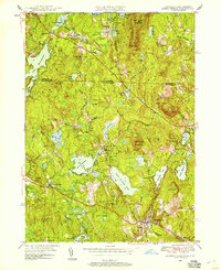
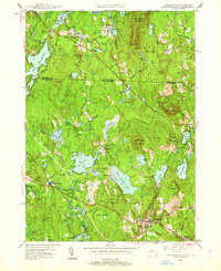
4 editions found
Other maps of this area

1887 · Winchendon
USGS Topo · 1:62,500

1887 · Fitchburg
USGS Topo · 1:62,500

1889 · Fitchburg
USGS Topo · 1:62,500

1890 · Winchendon
USGS Topo · 1:62,500

1893 · Fitchburg
USGS Topo · 1:62,500

1894 · Winchendon
USGS Topo · 1:62,500

1898 · Monadnock
USGS Topo · 1:62,500

1900 · Peterboro
USGS Topo · 1:62,500

1931 · Fitchburg
USGS Topo · 1:48,000

1932 · Winchendon
USGS Topo · 1:48,000