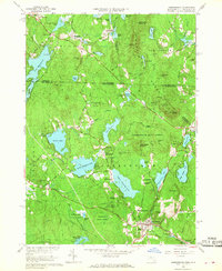
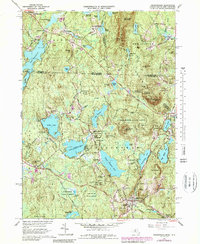
1965 Map of Ashburnham
USGS Topo · Published 1968About this map
Ashburnham serves as the focal point of this mid-1960s survey, illustrating a landscape defined by glacial lakes and a transition from industrial hamlets to a residential and academic community. The village center is anchored by the prominent Cushing Academy and the local library, while peripheral settlements like Factory Village and Blackburn Village hint at the area's manufacturing roots along the waterways. The northern section of the map reveals the interstate character of the region, where the New Hampshire Massachusetts line cuts across Lake Monomonac and the village of Converseville.
Find a feature on this map
86 named features on this map. Tap any name to fly to it.
Don’t see what you’re looking for? This feature index may not catch every label — zoom into the map to look around manually.
Map Details
Editions of this 1965 Ashburnham Map
5 editions found
Other maps of this area

1887 · Winchendon
USGS Topo · 1:62,500

1887 · Fitchburg
USGS Topo · 1:62,500

1889 · Fitchburg
USGS Topo · 1:62,500

1890 · Winchendon
USGS Topo · 1:62,500

1893 · Fitchburg
USGS Topo · 1:62,500

1894 · Winchendon
USGS Topo · 1:62,500

1898 · Monadnock
USGS Topo · 1:62,500

1900 · Peterboro
USGS Topo · 1:62,500

1931 · Fitchburg
USGS Topo · 1:48,000

1932 · Winchendon
USGS Topo · 1:48,000