Loading...
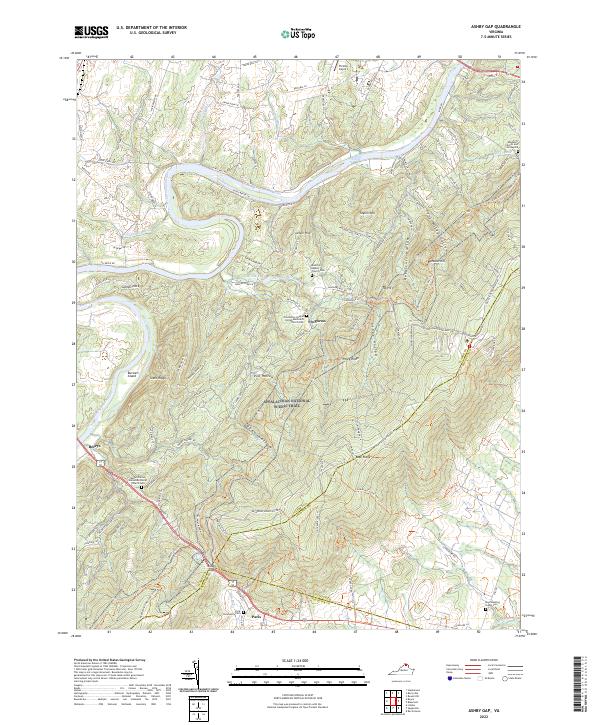
Loading map...2022 Map of Ashby Gap
USGS Topo · Published 2022About this map
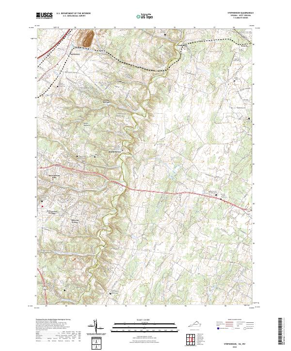
The Shenandoah River snakes through the northwest corner of this landscape, carving past Burwell Island and Calmes Neck before meeting Spout Run. This region is defined by the sharp rise of the Blue Ridge, where the Appalachian National Scenic Trail traverses the high ground of Piney Ridge and Buzzard Hill. The pass at Ashby Gap historically served as a vital gateway between the Piedmont and the Valley, anchoring the small village of Paris.
Find a feature on this map
112 named features on this map. Tap any name to fly to it.
Don’t see what you’re looking for? This feature index may not catch every label — zoom into the map to look around manually.
Map Details
Date Portrayed2022
Date Published2022
PublisherU.S. Geological Survey
Map TypeTopographic
Scale1:24000
Physical Dimensions24 x 29 inches
Editions of this 2022 Ashby Gap Map
This is the sole edition of this map. No revisions or reprints were ever made.
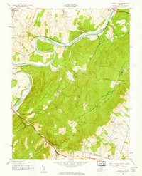
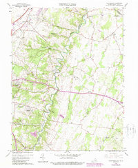
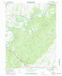
Historical Maps of Top Hill Through Time
7 maps found
Featured Locations
Source Details
SourceU.S. Geological Survey
CopyrightPublic Domain