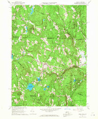
1965 Map of Ashby
USGS Topo · Published 1968About this map
Ashby sits at the heart of this mid-century topographic study, which tracks the intersection of small-town centers and managed woodlands along the Massachusetts and New Hampshire border. The landscape is defined by its transition from the Souhegan River valley in the north to the high points of Blood Hill and Jewell Hill further south. The settlement patterns of New Ipswich, South Village, and Mason are clearly delineated, showing a network of country roads radiating from village cores anchored by local landmarks like the Village Ch and Glenwood Cem.
Find a feature on this map
67 named features on this map. Tap any name to fly to it.
Don’t see what you’re looking for? This feature index may not catch every label — zoom into the map to look around manually.
Map Details
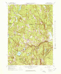
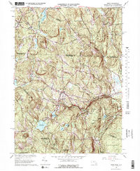
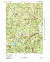
Editions of this 1965 Ashby Map
4 editions found
Other maps of this area

1887 · Fitchburg
USGS Topo · 1:62,500

1889 · Fitchburg
USGS Topo · 1:62,500

1893 · Fitchburg
USGS Topo · 1:62,500

1893 · Groton
USGS Topo · 1:62,500

1900 · Peterboro
USGS Topo · 1:62,500

1906 · Milford
USGS Topo · 1:62,500

1931 · Groton
USGS Topo · 1:48,000

1931 · Fitchburg
USGS Topo · 1:48,000

1935 · Groton
USGS Topo · 1:62,500

1935 · Fitchburg
USGS Topo · 1:62,500