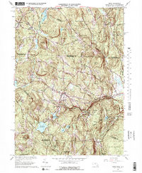
1965 Map of Ashby
USGS Topo · Published 1978About this map
The New Hampshire Massachusetts border divides this 1965 landscape, where high-elevation topography defines the transition from the Souhegan River valley in the north to the reservoir systems of the south. The village of Ashby serves as a central hub, surrounded by family-named landmarks like Whittemore Hill and Jones Hill. In the northern section, the Boston and Maine railroad tracks wind through Mason and Greenville, passing near The Whirlpool and Water Loom Pond.
Find a feature on this map
69 named features on this map. Tap any name to fly to it.
Don’t see what you’re looking for? This feature index may not catch every label — zoom into the map to look around manually.
Map Details
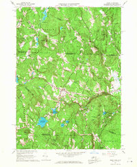
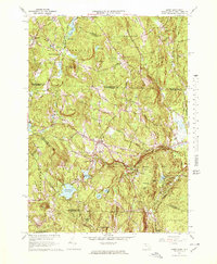
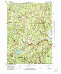
Editions of this 1965 Ashby Map
4 editions found
Other maps of this area

1887 · Fitchburg
USGS Topo · 1:62,500

1889 · Fitchburg
USGS Topo · 1:62,500

1893 · Fitchburg
USGS Topo · 1:62,500

1893 · Groton
USGS Topo · 1:62,500

1900 · Peterboro
USGS Topo · 1:62,500

1906 · Milford
USGS Topo · 1:62,500

1931 · Groton
USGS Topo · 1:48,000

1931 · Fitchburg
USGS Topo · 1:48,000

1935 · Groton
USGS Topo · 1:62,500

1935 · Fitchburg
USGS Topo · 1:62,500