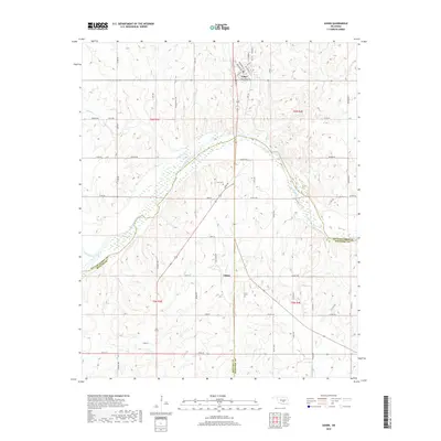
2022 Map of Asher
USGS Topo · Published 2022About this map
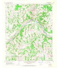
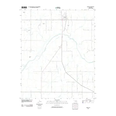
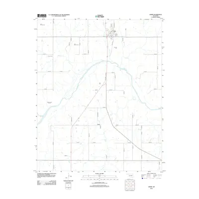
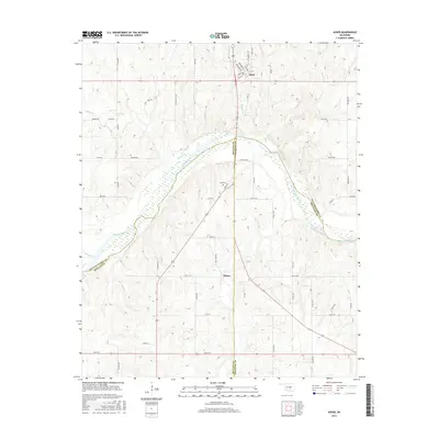
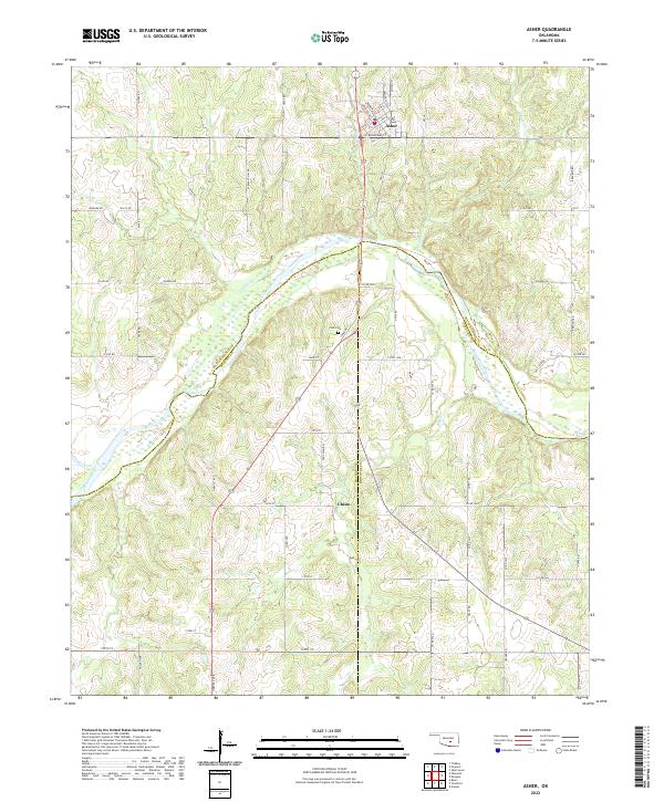
Asher sits at the northern edge of this landscape, where the terrain begins to drop toward the sweeping curve of the Canadian River. This 2022 survey captures the rural character of the borderlands between Pottawatomie, McClain, and Pontotoc counties. The river valley is a primary geographical feature, fed by tributaries like Julian Cr and Pond Creek. To the south, the small settlement of Chism is connected by a network of rural routes including Old Chism Rd and Chism Ave. Genealogists and local historians will find the Cook Cem located central to the quadrangle, north of 160th St. The area's layout is defined by the Public Land Survey System grid, with roads like Pleasant Hill Rd and Harvest Ave following section lines through the wooded hills and creek bottoms of the Big Cr and Chism Cr drainages.
Find a feature on this map
61 named features on this map. Tap any name to fly to it.
Don’t see what you’re looking for? This feature index may not catch every label — zoom into the map to look around manually.
Map Details
Editions of this 2022 Asher Map
This is the sole edition of this map. No revisions or reprints were ever made.
Historical Maps of Asher Through Time
6 maps found