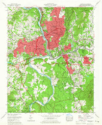
1961 Map of Asheville
USGS Topo · Published 1965About this map
The French Broad River serves as the central artery for this mid-century survey, dividing the urban center of Asheville from the expanding neighborhoods of West Asheville. During this period of growth, institutional landmarks like Asheville Biltmore College and Highland Hospital established the city's character, while the southern reaches remained defined by the affluent enclave of Biltmore Forest. The map captures a landscape in transition, where legacy infrastructure like the Southern railroad and Riverside Cem meet modern developments such as the Blue Ridge Parkway. To the west, the Pisgah National Forest and Pisgah Wildlife Management Area preserve the mountainside, contrasting with the industrial and residential clusters of Sayles Village and Murphy Junction along the river's bend. Small airfields like Owen Airfield and Emma Airpark reflect the era's local aviation footprint before later suburbanization.
Find a feature on this map
78 named features on this map. Tap any name to fly to it.
Don’t see what you’re looking for? This feature index may not catch every label — zoom into the map to look around manually.
Map Details
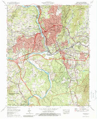
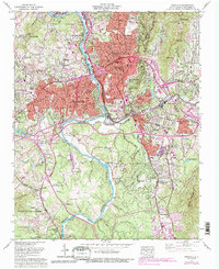
Editions of this 1961 Asheville Map
Other maps of this area

1894 · Asheville
USGS Topo · 1:125,000

1900 · Mount Mitchell
USGS Topo · 1:125,000

1901 · Asheville
USGS Topo · 1:125,000

1902 · Mount Mitchell
USGS Topo · 1:125,000

1905 · Pisgah
USGS Topo · 1:125,000

1906 · Pisgah
USGS Topo · 1:125,000

1907 · Saluda
USGS Topo · 1:125,000

1935 · Craggy Pinnacle
USGS Topo · 1:24,000

1936 · Enka
USGS Topo · 1:24,000

1936 · Weaverville
USGS Topo · 1:24,000