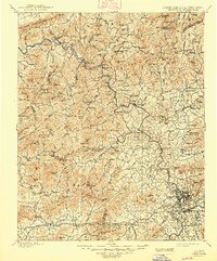
1901 Map of Asheville
USGS Topo · Published 1948About this map
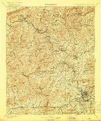
The French Broad River carves a deep path through the heart of the Blue Ridge, serving as the primary corridor for the Southern Railway as it snakes north from Asheville toward the Tennessee line. This turn-of-the-century landscape is defined by its rugged topography, where the Walnut Mountains and Elk Mountains hem in a network of narrow valleys and isolated settlements. Near the northern boundary, the resort town of Hot Springs marks a historic crossing point, while further south, the burgeoning estate grounds at Biltmore and the early suburban developments of Emma and Grace signal the growth of the regional hub.
Find a feature on this map
165 named features on this map. Tap any name to fly to it.
Don’t see what you’re looking for? This feature index may not catch every label — zoom into the map to look around manually.
Map Details
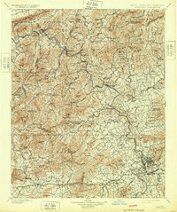
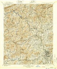
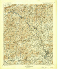
Editions of this 1901 Asheville Map
9 editions found

Other maps of this area

1883 · Morristown
USGS Topo · 1:125,000

1891 · Cowee
USGS Topo · 1:125,000

1891 · Roan Mountain
USGS Topo · 1:125,000

1892 · Greeneville
USGS Topo · 1:125,000

1893 · Mt Guyot
USGS Topo · 1:125,000

1893 · Morristown
USGS Topo · 1:125,000

1894 · Asheville
USGS Topo · 1:125,000

1894 · Roan Mountain
USGS Topo · 1:125,000

1895 · Morristown
USGS Topo · 1:125,000

1896 · Greeneville
USGS Topo · 1:125,000