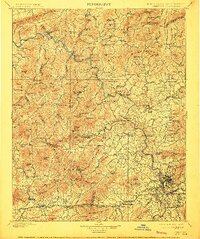
1901 Map of Asheville
USGS Topo · Published 1912About this map
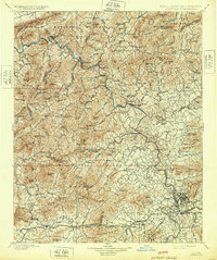
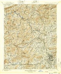
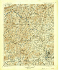
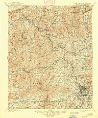
Asheville serves as the focal point of this late-nineteenth-century survey, showcasing its early urban layout before the city's twentieth-century expansion. The Southern railroad follows the winding course of the French Broad River, a critical transportation corridor linking the mountain settlements of Hot Springs, Stackhouse, and Barnard. The geography is defined by high peaks and ridges such as the Walnut Mountains and Meadow Creek Mountains, which hem in the narrow river valleys and influence the scattered settlement patterns of Marshall and Mars Hill.
Find a feature on this map
199 named features on this map. Tap any name to fly to it.
Don’t see what you’re looking for? This feature index may not catch every label — zoom into the map to look around manually.
Map Details
Editions of this 1901 Asheville Map
9 editions found

Other maps of this area

1883 · Morristown
USGS Topo · 1:125,000

1891 · Cowee
USGS Topo · 1:125,000

1891 · Roan Mountain
USGS Topo · 1:125,000

1892 · Greeneville
USGS Topo · 1:125,000

1893 · Mt Guyot
USGS Topo · 1:125,000

1893 · Morristown
USGS Topo · 1:125,000

1894 · Asheville
USGS Topo · 1:125,000

1894 · Roan Mountain
USGS Topo · 1:125,000

1895 · Morristown
USGS Topo · 1:125,000

1896 · Greeneville
USGS Topo · 1:125,000