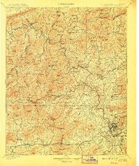
1901 Map of Asheville
USGS Topo · Published 1907About this map
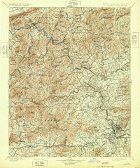
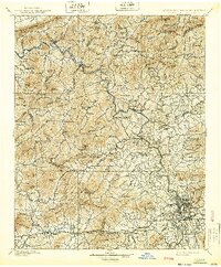
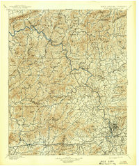
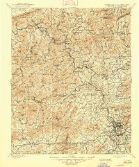
Asheville serves as the regional hub at the dawn of the twentieth century, where the Southern Railway follows the winding path of the French Broad River through the Blue Ridge. This 1890s survey by H.M. Wilson reveals a landscape defined by high peaks and narrow valleys, where older transportation routes like the Asheville and Murphy Turnpike and the Knoxville Road connect mountain communities. From the industrial activity at Canton and Clyde to the established resort character of Hot Springs, the map documents the area's development before modern highways.
Find a feature on this map
184 named features on this map. Tap any name to fly to it.
Don’t see what you’re looking for? This feature index may not catch every label — zoom into the map to look around manually.
Map Details
Editions of this 1901 Asheville Map
9 editions found

Other maps of this area

1883 · Morristown
USGS Topo · 1:125,000

1891 · Cowee
USGS Topo · 1:125,000

1891 · Roan Mountain
USGS Topo · 1:125,000

1892 · Greeneville
USGS Topo · 1:125,000

1893 · Mt Guyot
USGS Topo · 1:125,000

1893 · Morristown
USGS Topo · 1:125,000

1894 · Asheville
USGS Topo · 1:125,000

1894 · Roan Mountain
USGS Topo · 1:125,000

1895 · Morristown
USGS Topo · 1:125,000

1896 · Greeneville
USGS Topo · 1:125,000